 It is said that the happiest two days in a boat owner’s life are the day he buys the boat and the day he sells it. That was the kind of day Saturday was for me.
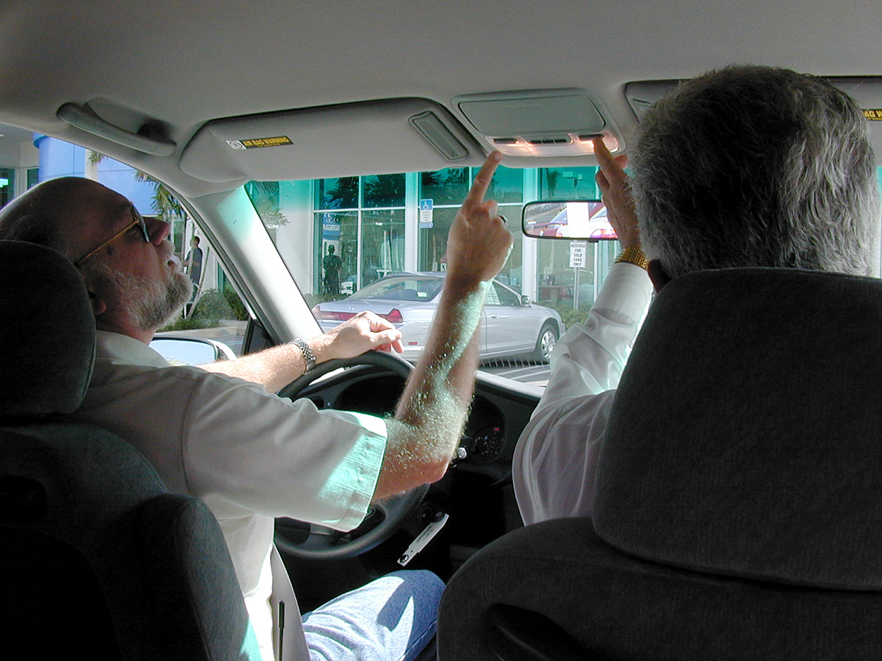
Kid Matt shot this photo of me taking a test drive in my new 2000 Odyssey van on November 26, 1999. The sales guy was trying to tell me where all the bells and whistles were located.
Less painful than expected
When Kid Adam said he was trading up and that his 2010 van was going to be available at a good price, I wasn’t looking forward to unloading my 2000. You caught part of that the other day.
 I started by driving down to Car Max for an appraisal that would give me a floor price. They offered a number lower than what I was hoping for, but wasn’t insulting. There was a guy with a spinner sign down the street saying that HIS company would meet or beat any other offers.
- A. He was lying and
- B. His offer WAS insulting.
Adam had some friends or friends of friends who expressed an interest. A batch of them drove up from Miami Saturday noonish to look it over.
I was brutally honest about all the little quirks and foibles the vehicle had, but when we got finished with the test drive, they came up with a couple items that I dismissed as no big deal.
Negotiation is on
 They shot me a price lower than I would accept, and I countered with one a hundred bucks higher, conceding that the noisy brakes really would need to be fixed and that my offer would split the difference on the brake job.
They wouldn’t budge off their offer, and I wouldn’t budge off mine, so we started to go our separate ways.
Before I could get to the house, they came back with an envelope of cash and we did the deal. In the long run, I think we were both OK with it. It’s just that crazy dance you have to go through when you buy or sell a car.
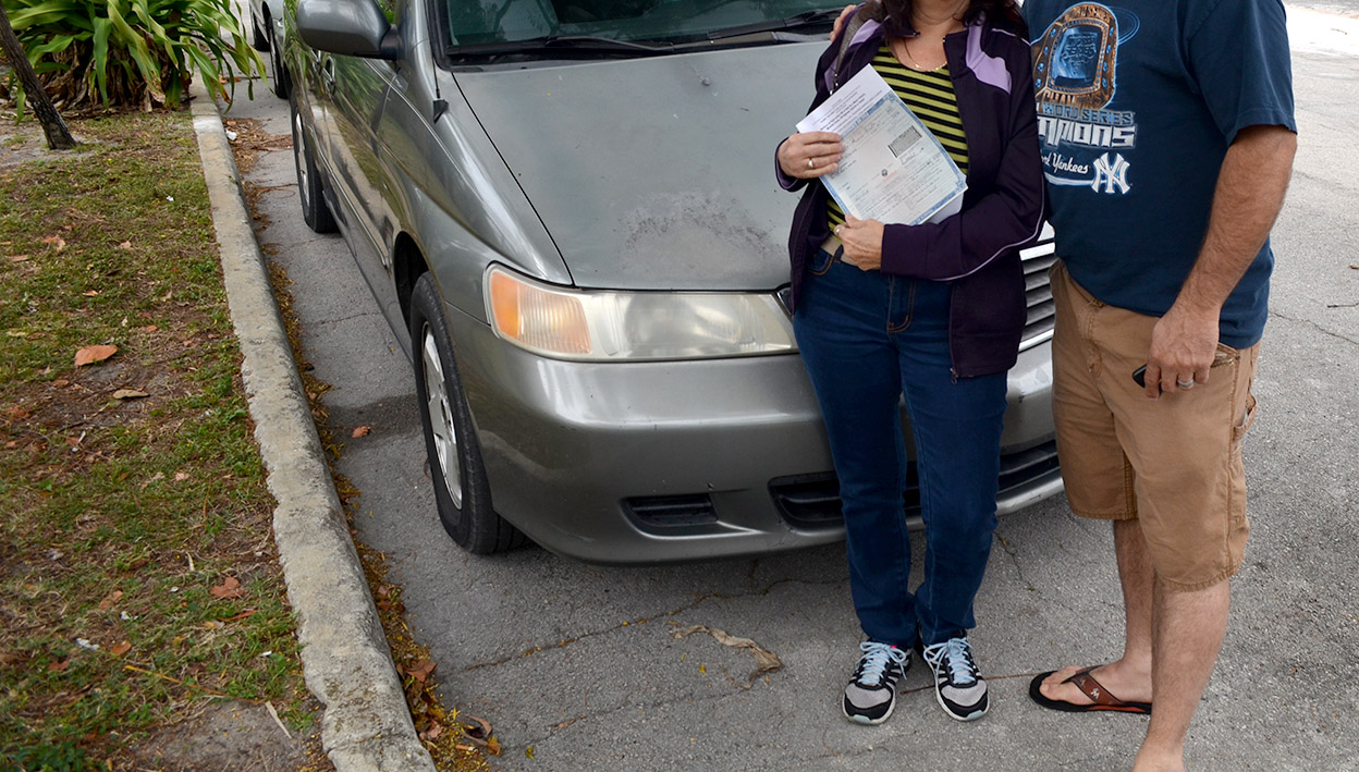
While we swapping license tags and going over little details, I left Wife Lila filling out the paperwork so there would be half a chance that someone would be able to read it. (As it was, I dated all my signatures 2014, and had to scratch over them)
They got the title and seemed to be happy. A camera aimed back in my direction would probably have captured a smile that big on MY face.
[Editor’s note: you’re going to have to take my word for their smiling faces. I got a text asking that I remove the photo. I cropped out the top of the photo and blurred their license tag to insure their privacy.]
Waving goodbye
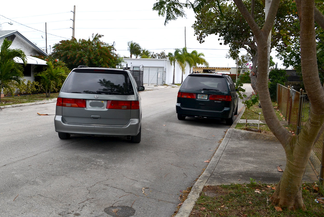 When it pulled away from the house for the last time, I have to admit having mixed emotions. One of them was relief when it made it all the way to the corner and disappeared from sight. I honestly believe it has lots of miles left in it, but if it was going to die, I’d rather not see it.
That corner has bad car karma associated with it. It used to house a car dealer whose business model was to sell to people with lousy credit. As soon as they missed the first payment, he’d send the repo wrecker out to recover the car so it could be sold again and again.
I think his warranty was 30 feet or 30 minutes, too, based on the amount of shouting that would come over the fence.
I wish the new owners good luck. I have their address if any of the Road Warriorettes want to pay it a visit.