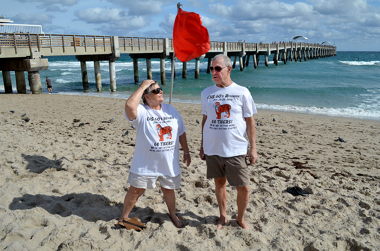
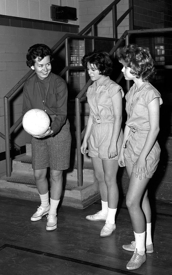
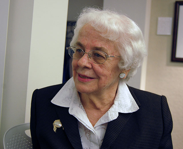
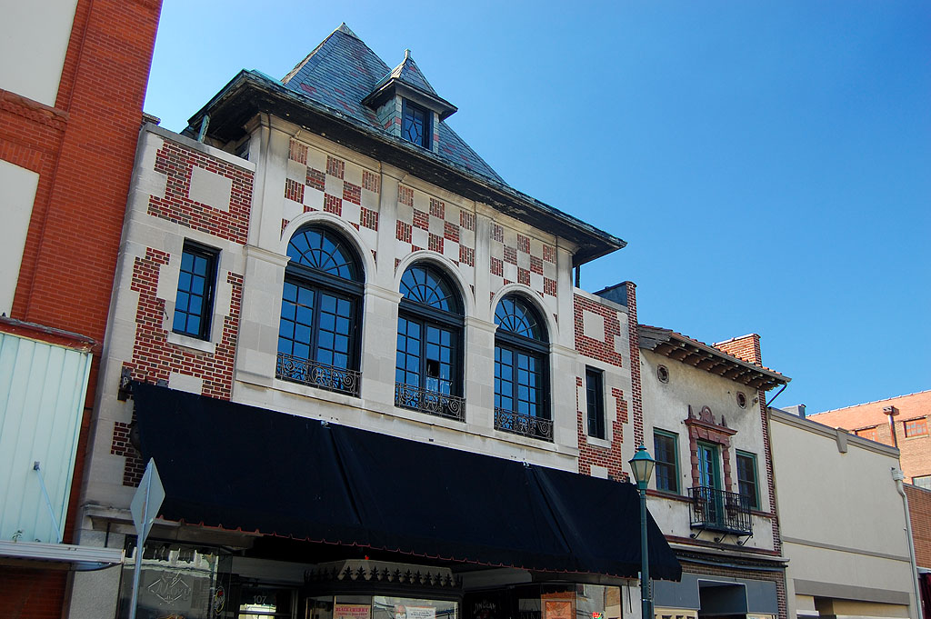
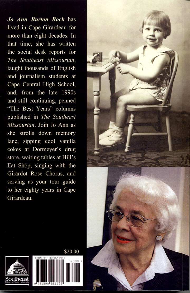
 I photographed Jo Ann Bock at Tom Neumeyer’s book signing for his photo documentary book, Cape Girardeau Then & Now back in 2010.
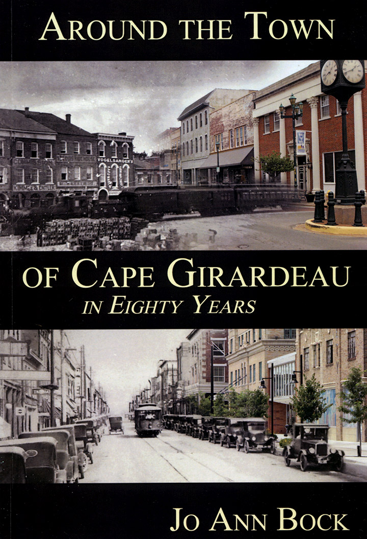
When Mrs. Bock wrote Around the Town of Cape Girardeau in Eighty Years, she asked if she could use one of the photos on the back cover of her book. I didn’t hesitate to give her permission. She sent me a copy of the book in return. I was pleasantly surprised to see she had some extraordinarily nice things to say about a piece I wrote about her husband, Howard Bock, when he died.
Mr. Bock Changed my life
 In the curious way that things in Cape are intertwined, Mrs. Bock was my Cub Scout den mother and knew I was interested in photography. When I got to Central, her husband was in charge of the Tiger and Girardot photo staffs and asked if I’d like to join. That was, indirectly, the start of my photography career.
We saw different slices of time
 Howard and Jo Ann Bock were getting married (1950) just about the time I was getting born (1947), so we view Cape through slightly different lenses. She stayed in Cape, except for a few years, and I left in 1967, although Cape has never left me.
In the introduction to one of the chapters, she says, “Sometimes a person will ask why I didn’t mention this place, or that person, or recall a special event. My answer is that memories take different directions with people.” Maybe that’s why even though she and I plow the same ground, we come up with different crops.
Her view of Broadway
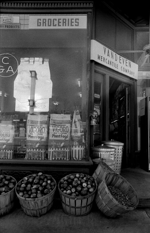 She and a city directory did a good job of creating a list of businesses and residences along the Broadway corridor. We have some memory overlap on some long-time businesses like Vandeven’s and the movie theaters, but a lot of places she remembers were long gone when the 1960s came around.
Here’s a partial list of what I found along Broadway between Kingshighway and Main Street.
Library and Courthouse
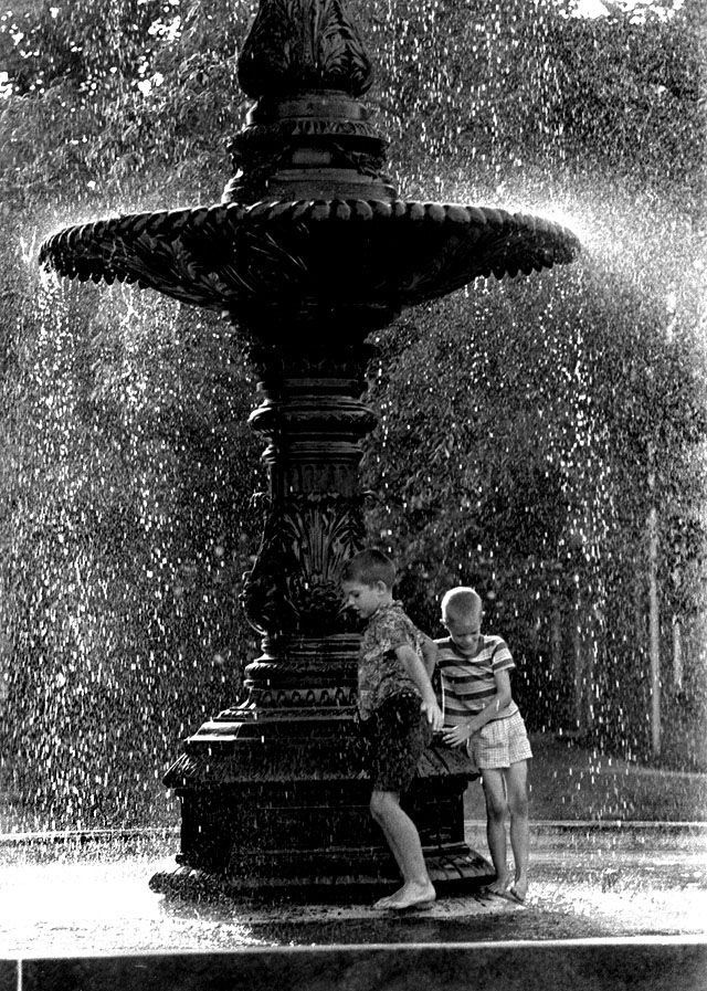 She and I both spent a lot of time in the Cape Public Library when it was located on the grounds of the Common Pleas Courthouse. Unlike these kids, she “never felt right about playing in the fountain with that soldier staring down at me.”
Just for the record, the soldier that stared down at her was smashed by a falling limb. The pieced-together original lives at the Jackson Courthouse, and a replacement casting stares down at children today. Maybe the new one would be less intimidating.
The George Alt House
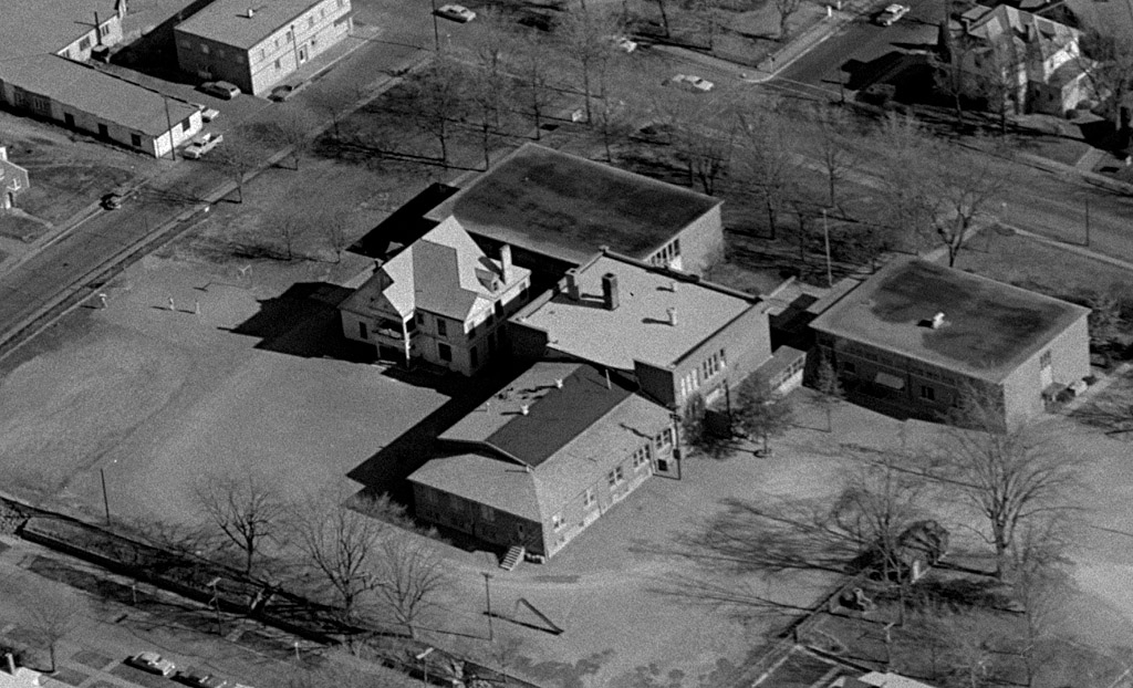 We both served our time in the George Alt House, turned into Trinity Hall by Trinity Lutheran School.
A walk down Main Street
 Mrs. Bock takes us for a walk down Main Street, reeling off a list of businesses that are mostly not there. In fact, the only business still in operation is Zickfield’s Jewelry. Hecht’s is gone, as is Newberry’s, where she worked in the infant clothing department for 15 cents an hour.
Here’s a page where I posted photos of many of the businesses I remembered from my era. The current generation will think Main Street was nothing but bars and antique shops with a little art thrown in.
Hurrah for Haarig
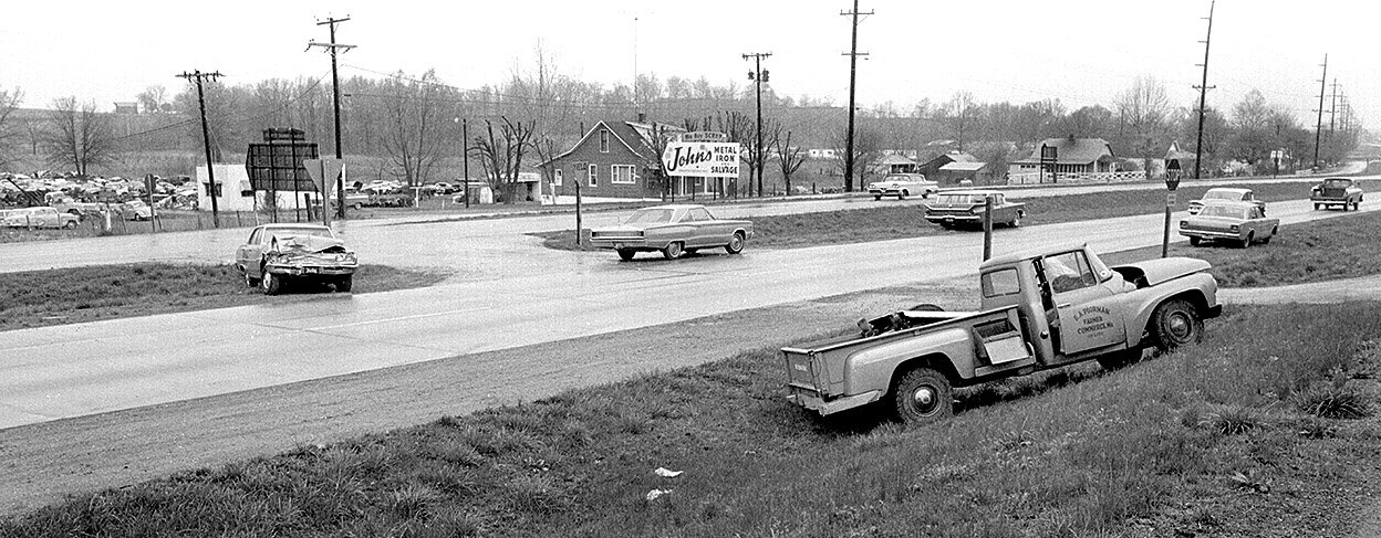
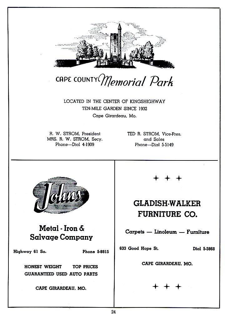
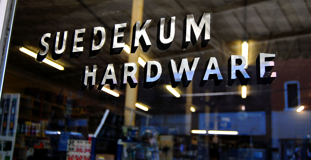 That’s the name of her chapter covering the Good Hope / Sprigg area. She drops names like Hirsch’s for groceries, Suedekum’s for hardware, Cape Cut Rate for drugs and the anchor, Farmer’s and Merchants Bank. If she mentioned Pure Ice, I must have missed it.
Music and Majorettes
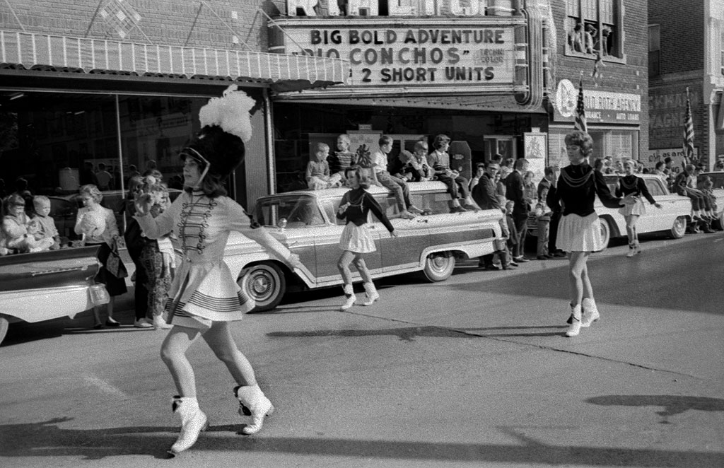 Mrs. Bock devotes several chapters to the Cape Girardeau music scene: choirs, operettas, plays, the Cape Choraliers, the Girardot Rose Chorus, and local dance bands. She also mentions being a Central High School majorette in 1946.
SEMO Fair
 She and I both spent time at the district fair, both as kids enjoying the rides and exhibits, then later covering it for The Southeast Missourian.
Bring on the Barbecue
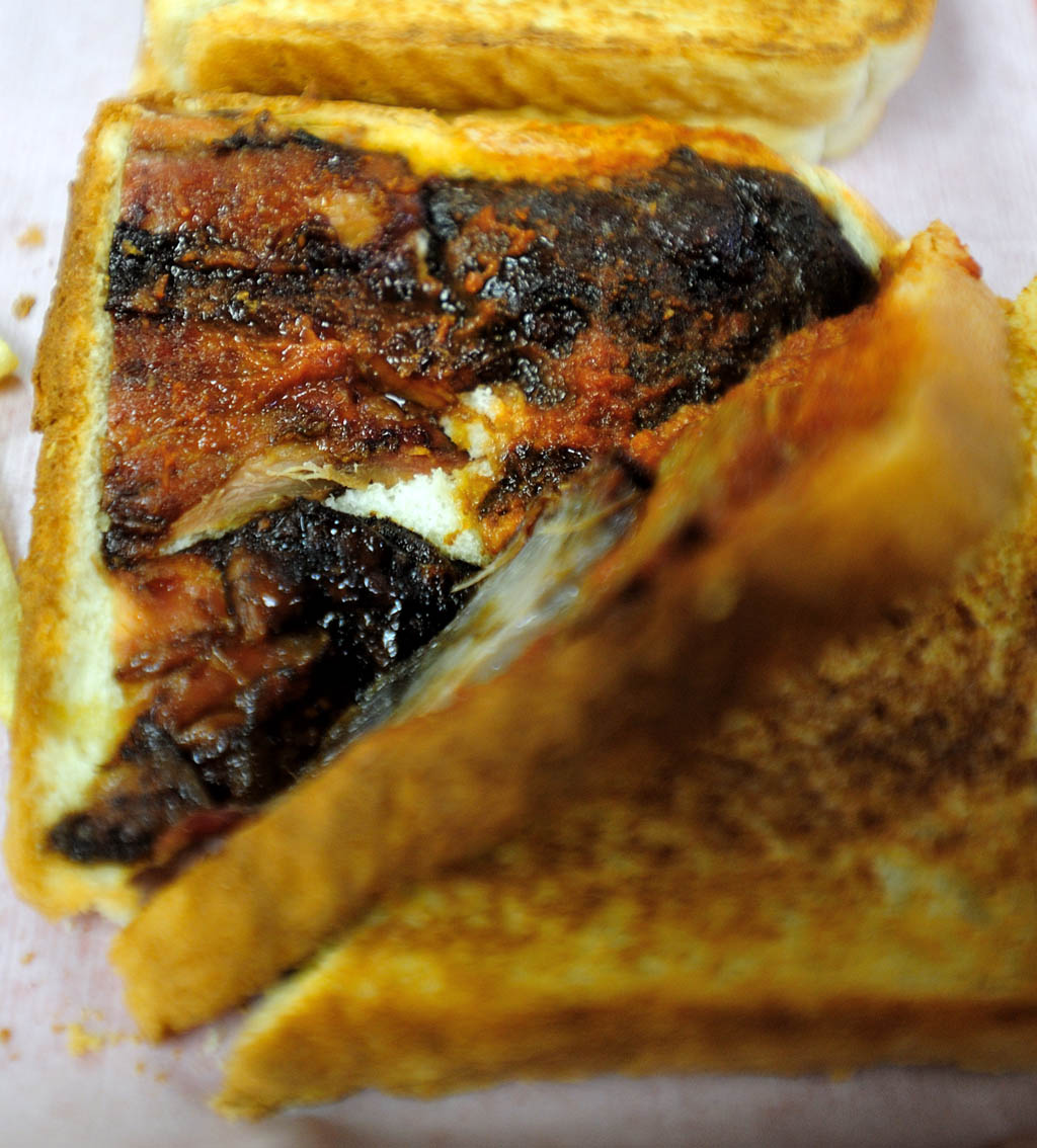 This chapter touched on two of my favorite barbecue places: the Blue Hole Garden and Wib’s.
Parade of Photographers
 You don’t serve as a high school publication adviser and a Missourian reporter without running across that strange subset of humans (some would debate that human part) called photographers. She was suitably enough impressed with us that she devoted a whole chapter to photographers she knew and worked with.
One-Shot Frony, AKA Garland D. Fronabarger, was one of the most unique newspaper photographers I ever ran into. His gruff exterior covered up a gruff interior. He got his name because he would growl around a pipe or cigar clenched between his teeth, “Don’t blink. I’m taking one shot,” push the shutter release and walk off.
Paul Lueders, a Master Photographer who shot almost every school group and class photo for years, was the opposite of Frony: he was quiet, patient and willing to take however long it took to get his subject comfortable.
She mentions several other professional and student photographers who crossed her path over the years, then launches into two pages of such nice things about me I thought maybe I was reading my obit.
How do I get a copy?
 If you grew up in Cape, you might find yourself between the pages of Around the Town of Cape Girardeau in Eighty Years. She manages to work in more names than the phone book. So, how do you get copy?
The book is available on Amazon for $15.49. It’s eligible for free shipping though Amazon Prime, so if you sign up for a 30-day free trial of Prime by January 10, you can save some money and get it in two days.