Fall at Kentucky Lake

Mother and I went over to Kentucky Lake Monday to winterize her trailer. For you Florida folk, that means that we drained all of the water out of the drains and water lines and put antifreeze in any place that water might pool. If you don’t keep the pipes heated, the water in them will freeze and the pipes will burst. That happened to her a couple of winters ago. It’s not pretty and it’s not cheap to fix.

While she was inside the trailer doing inside-the-trailer stuff, I was blowing away the leaves that had fallen so far. Leaves, again for you Florida folks, are a big deal up here. And, I am far from being a proficient leaf herder. I’m not convinced that I couldn’t do a better job with a leaf rake.

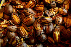
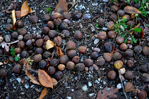
Anyway, once I got the ground cleared off, it was covered with a gazillion hickory nuts that were like walking on ball bearings.

More hickory nuts to fall

They’re not done falling, either. Hearing those things bounce off your trailer top must make you feel like you’re under machine gun attack all night long.

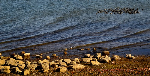
Ducks on the lake

We took a swing down to the campgrounds to see what was going on. These guys don’t seem to notice that the water’s growing colder in the late afternoon.

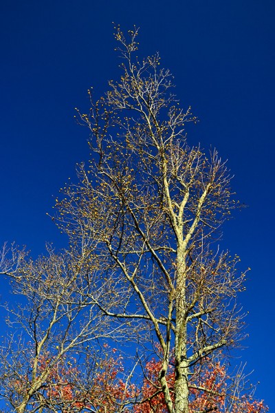
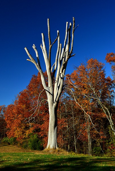
Naked tree

We couldn’t help but notice this dead, naked tree with all its bark missing as we passed the entrance to Camp John Currie. It was worth a u-turn.

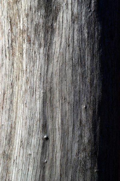
Peeling paint to peeling bark

I know I’ve been posting a lot of what we journalistic photographer disdainfully call “peeling paint” photos, but I couldn’t resist this shot of a trunk with its bark peeled off.

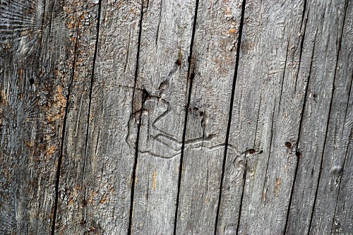
Something got under its skin

At some point in its life, something crawled around between the tree’s bark and its trunk.

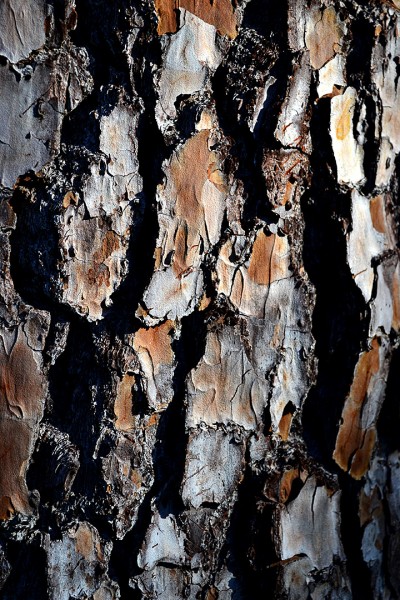
Pining away for Wife Lila

I had to put that bad pun in to keep Wife Lila from dispatching me as a stranger breaking into the house when I get back to Florida this weekend.

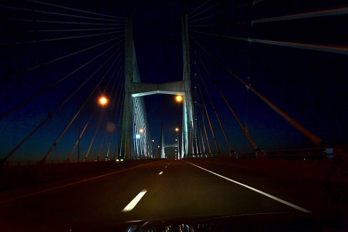
Bill Emerson Memorial Bridge

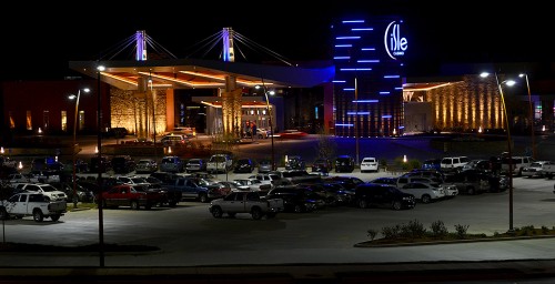
We were hitting East Cape just past sunset on the way back from Kentucky Lake. I couldn’t resist shooting some photos of the Bill Emerson Memorial Bridge as we approached it.

No, I wasn’t looking through the viewfinder instead of driving. I was resting my camera-holding hand on the top of the steering wheel and blindly pressing the button. Exposure and focus were done by the camera, for the most part, although the last thing I shot before this was set to underexpose 1.3 stops.That was probably a lucky thing because a normal exposure would have been too light.

If you like the photo, I’ll take credit for picking the best frames out of about 60 shots.

Bridge photo gallery

Click on any picture to make it larger, then click on the left or right side of the image to move through the gallery. The distant shot is blurry because the camera was set to a slow 200 ISO for a previous shoot in bright sunlight. When I noticed the exposure sounded like it was about two seconds long, I pulled off to the side of the road and told the camera to shift to a more sensitive “film” setting when the shutter speed fell below 1/30 second. The shot above was 1/30 of a second at an ISO of 1100.
Fourche a du Clos Valley Roadside Park

People who whiz up I-55 to get from Cape to St. Louis in about two hours never give a thought to U.S. Highway 61 that runs from the lands of ice and snow to New Orleans. Roads used to be known by names, not just numbers. Route 66, running east and west across the country was known as The Mother Road. North-South Highway 61 was El Camino Real – The King’s Road.

Going through Cape, it’s still called Kingshighway, and I grew up on Kingsway Drive, which parallels it.

Old U.S. 61 was a hilly, curvy, narrow road. Heavily-laden underpowered trucks growling up the steep hills would back up cars dozens deep. Eventually, someone would get impatient and try to pass, resulting in a grinding head-on collision that left dead scattered all over the roadside.

CB radios were decades in the future, so truckers and savvy drivers learned to communicate with their lights and hand signals to warn of speed traps and hazards ahead. Flashing headlights or an arm extended palm-down and waved in a patting motion meant “SLOW DOWN!”

Welcome rest area

About halfway between Cape and St. Louis, north of Bloomsdale and its Dew Drop Inn, was the Fourche a du Clos Valley Roadside Park. It had a spectacular view across the valley, picnic tables and a stone grill that’s still there. It has every feel of a WPA project, but I couldn’t find any markers around to confirm that. It was a great place to pull off to let your car and your kids cool off. I don’t think we ever passed there without stopping.

There were no rest facilities at the rest area, so what you might take as little white carnations all over the place when you looked over the stone wall and down the hill were actually tufts of toilet paper. Not all of the things in the Good Old Days were all that great.

I’m happy to report that there were no carnations visible on this visit.

583 feet above sea level

In case you were confused about which way you were going, there is still a concrete arrow that point NORTH. Next to it is a stone that proclaims that you’re standing 583 feet above sea level.

U.S. 61 has been improved

U.S. 61 has been improved. Cuts and fills have made the grades not so steep; the road has been widened and most of the through traffic stays on the Interstate, so it’s not the white-knuckle drive you might remember as a kid. I actually enjoyed my cruise south along the new old road.

Fourche a du Clos Valley Roadside Park photo gallery

Take a load off and click on any photo to make it larger, then click on the left of right side of the image to move through the gallery.
 

Perfect River Night

I made a run downtown, but the place I needed to go was closed, so I took a stroll down to the riverfront. It was a perfect night. There was a guy sitting near the Broadway entrance to the floodwall playing a guitar. Next to him was a buddy with a huge boxer on a leash. He started to move him out of my way, but the dog was wagging his tail and I motioned him to stay put.

There’s something about the river at night that brings out the friendlies. It’s like the setting breaks down the barriers we erect when we’re walking down Main Street. Everyone who came by smiled and made a nice comment about the weather or the river. The temps were in the low 70s or high 60, with almost no wind.

The photo was kind of dull until these two young women walked down to the water’s edge to take photos with their cell phones. (It would have been better if they had strayed off to the left just a tad more. That would have made a nice triangle of them, the bridge and the bollard.)

I started to thank them for adding visual interest to my photo, but they didn’t speak much English (or they were faking it to get rid of the guy they thought was hitting on them). When I showed them their photo on the display of my camera, they nodded and understood.

Bill Emerson Memorial Bridge

I mentioned that we were on a pecan mission the other day. I knew of a couple of nice pecan trees right near the old Mississippi River traffic bridge overlook on the River Campus, so I pulled in to see they had dropped any nuts. Either they had been all picked up or my car headlights didn’t spotlight them, so I came up dry.

I couldn’t pass up an opportunity to shoot a four-frame panorama of the Bill Emerson Memorial Bridge. Like always, you can click on the photos to make them larger.