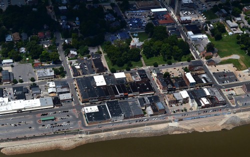
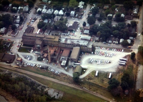
 I asked the folks in the Growing Up in Cape Girardeau Facebook fanpage what they’d like me to repost. There were lots of requests for stuff either before or after my time – it’s hard to believe that my photo window in Cape was only from about 1963 through 1967. Several people asked for shoe factory photos. Unfortunately, I never was inside the building. The best I can do is a collection of ground and aerial photos documenting the transition of the biggest business in Cape to a casino.
This aerial photo was taken in the early 1970s. It ran in one of the most extensive posts I did dealing with the history of the shoe factory. If you follow only one link, it should be this one. By the way, you can click on the photos to make them larger, but following the links will take you to more pictures and the backstories.
Reporters love stats
Reporters love stories with lots of statistics, and a 1925 Missourian story was full of them: the factory produced 3,164,080 pairs of shoes, enough to provide every resident of Cape with 175 pairs.
There was a human side, too. The company bragged that “no death or accident of serious consequence has been recorded…”
I’m not sure if the shoe company would qualify this as an injury of “serious consequence, but I’m sure Mrs. McCrite would:
June 24, 1926 – The condition of Mrs. Octavia McCrite, who is in the Cape Girardeau hospital following the loss of her scalp in an accident at the factory of the International Shoe Co. Saturday, was today reported to be unchanged.
If you read the comments, Mrs. McCrite was the grandmother of one of my readers. It sounds like it must have been an horrific injury with lifelong consequences.
A view from the tracks
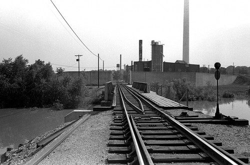 Here’s a view of the shoe factory from the Red Star side of the floodwall. The river was coming up, but never got high enough to have to close the floodgate. [If you are short on time, this is a link you can skip. The picture is pretty much the story.]
Shoe factory neighborhood
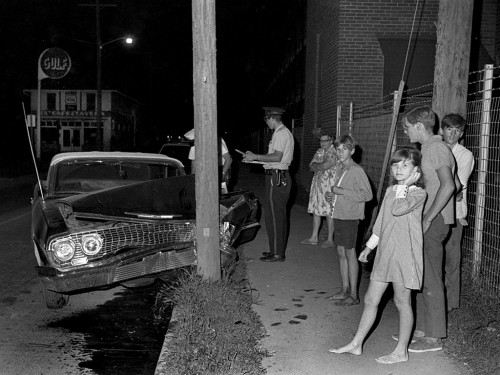 Here’s a wreck on Main Street at the shoe factory. The piece has pictures of buildings in the neighborhood, including one that became various things: Fairway Market No. 2, Margarite Mama’s and the Mule Lip.
Aerial photos of Red Star and Casino area
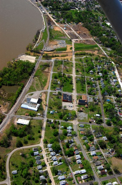 I shot a series of aerial photos of the old shoe factory site and surrounding area just as clearing was beginning. This one showed Red Star looking to the south.
Morrison Ice and Fuel
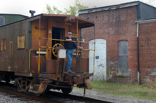 A nondescript brick building south of the old shoe factory had been Morrison Ice and Fuel. It had the corner on the ice market in the early 1900s. It eventually became the Pure Ice Company.
When refrigerators first started coming out, Pure Ice sold Coolerator Iceboxes, but marketed them as a replacement for the old-fashioned wooden iceboxes (with a $5 trade-in), not as a refrigerator like we think of it today. Home ice delivery went on in Cape until the 1960s. That’s why a lot of people still call the fridge an “icebox.”
2011 and 2012 casino panoramas
 I took panoramic photos of the casino to compare the changes between 2011, when it was mostly just a slab, and a year later.
Casino at night in 2012
 After the casino opened, I took some night time exposures of it.
Downtown parking vs casino parking
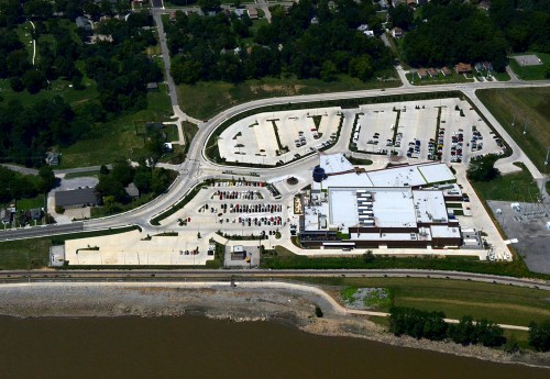 Aerials showing the number of cars downtown and at the casino.
Bingo is still thriving
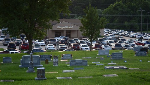 In 2010, Bingo folks were concerned that the casino would cut into their business. It doesn’t look like their parking lot is empty.
Hirsch’s Northtown
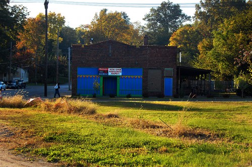 My post on the building across from the shoe factory that eventually became The Mule Lip was short, but it drew lots of comments from people who went there in its various permutations.

