The forecasters were pretty much right. They promised us a wintery mix, and we got the whole gamut: rain, freezing rain, half an inch of ice and about five inches of snow here on Kingsway in Cape.
Here is my standard photo looking across the street to the Bolton house.
Wib’s emergency

When the weather started to look iffy, I figured I should journey to Wib’s, remembering when I made a similar pilgrimage in 2013.
An outside combo, with French fries, slaw and iced tea fueled me up for a trip to grocery stores.
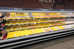
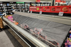
Empty shelves at Schnucks
I went to Schnucks specifically looking for key limes and bacon-wrapped pork steaks. They had neither.
I asked the guys in the produce and meat departments if they were hiding any, but they said the supply truck hadn’t arrived, but it should be there the next day.
I thought there wasn’t a snowball’s chance in Hades of that happening with the forecasts for the rest of the week.
A combination of supply chain issues and panic buying left many shelves virtually empty. Click on any image to make it larger, then use the arrow keys to move through the gallery.
Studded tires will start you, but not stop you
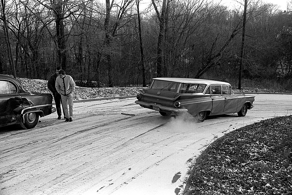
1966 minor crash on icy street
There was a time when I would have fired up the old 1959 Buick LaSabre station wagon and roamed all over town documenting the wintery weather, but I’m older and wiser, and the Buick has long since gone on to its eternal reward. (Dad gave it to one of his workers to haul firewood on his farm. It was a straight-ahead vehicle, meaning that it no longer worked in reverse.)
Here is where I learned in 1966 that studded snow tires might help you get started on ice, but they didn’t do diddly when it came to stopping.
The guy in the black car was on the wrong side of the road when I was heading down the hill.
Roughly five inches
While I was visiting family in South Carolina and Florida over the holidays, the birds emptied about 2/3 of the bird feeders in the back yard. The ice storm froze the ropes and pulleys I use to hoist them past the squirrel zone, so I couldn’t do much for them.
I saw some woodpeckers looking at the few pitiful scraps of suet block, so I managed to replenish that feeder.
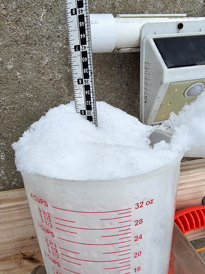
I used a measuring cup to fill a feeder down low, then promptly left it hanging on a Shepard’s crook. When I went outside the next morning, it had about five inches of snow in it. I couldn’t get any wind or precipitation readings from my weather station because it was a solid block of ice.
Heated water dish
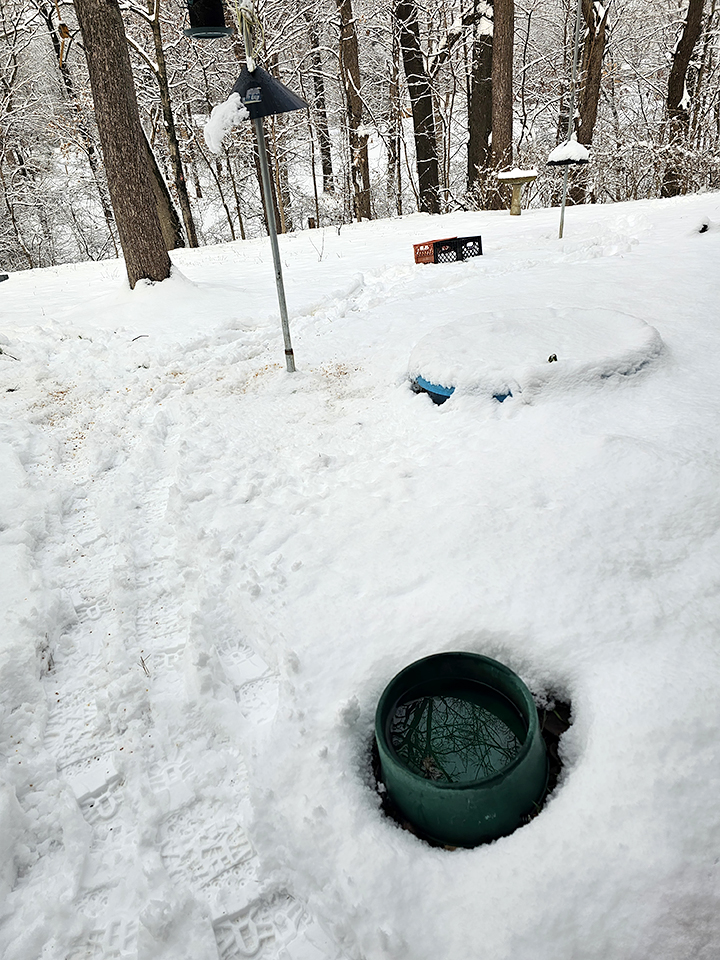
Before Phoebe the Bleeping Cat was granted indoor privileges a couple of winters back, I kept a heated drinking dish for her. I bought a kiddie pool to hold water for all the back yard livestock, but it was frozen so solidly that even a posthole digger wouldn’t break the ice.
The dish stays liquid even if the rest of the world is a white, solid mess.
Cool mailbox
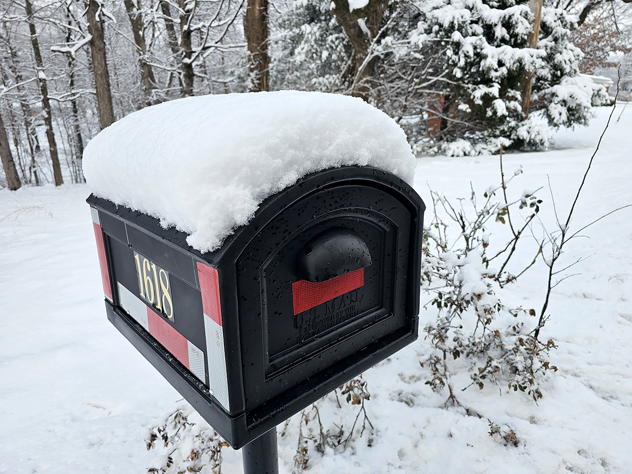
After a distracted driver mowed down my mailbox, I replaced it with this bigger one so the carrier doesn’t have to make as many porch deliveries.
USPS has this cool app that lets me see what mail is coming, so I didn’t have to wade through the snow to see there was nothing in the box that was urgent.
Snow covers a multitude of sins
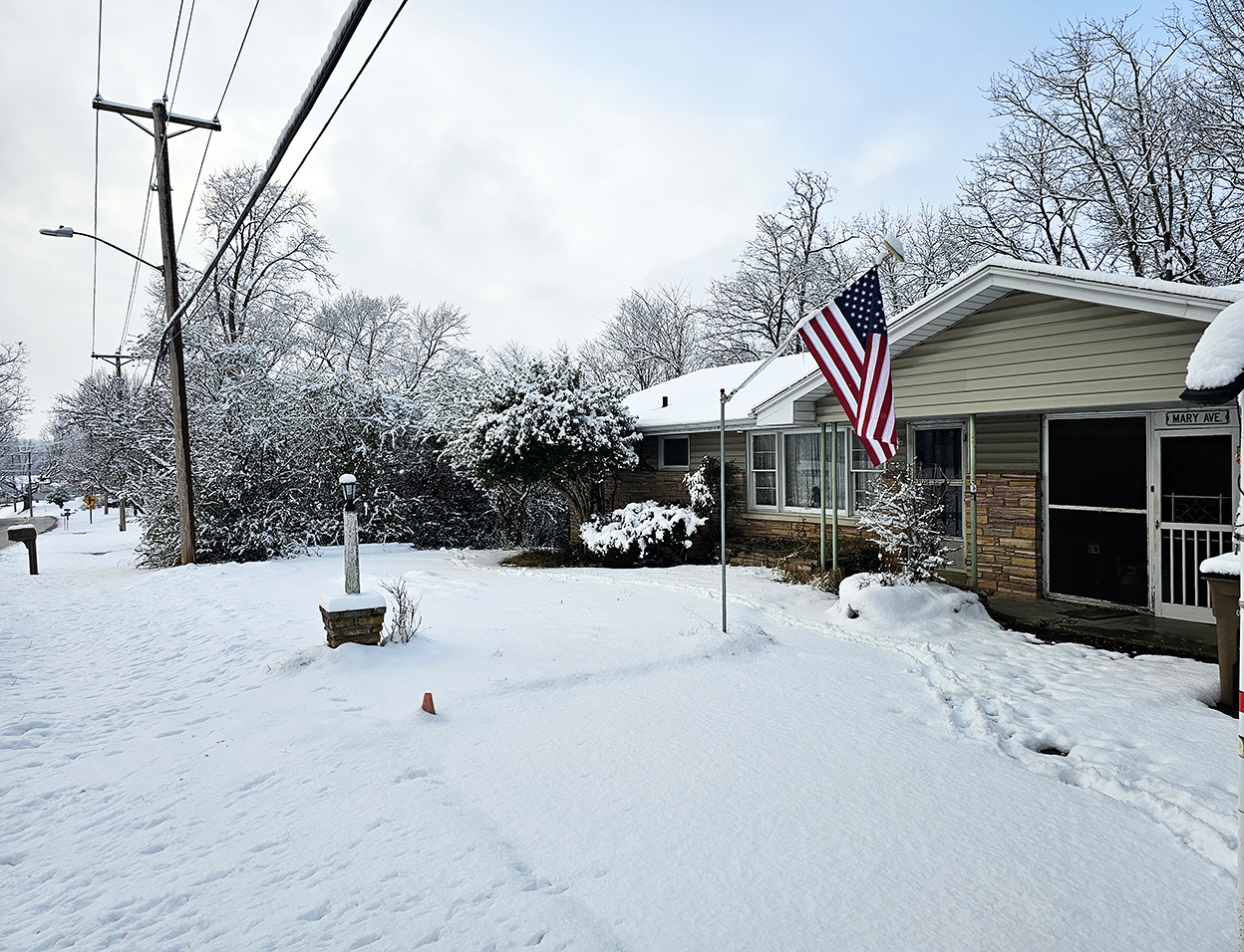
Nothing like a fresh blanket of snow to cover up all the ugly parts of my front yard.
Older and wiser, remember?
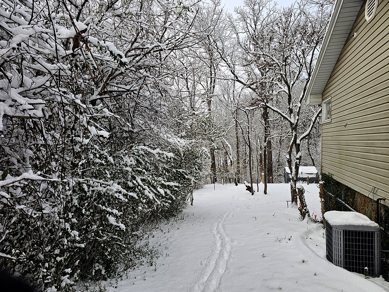
I walked the perimeter of the yard checking for damage, but I was pretty much OK except for some minor limbs down.
I saw several people leaving stores with sleds under their arms, but I opted out of trying to sled down the hill on the west side of the house.
In fact, when I was in Buchheit’s last week, I saw some handy ice cleats that were nice to stick on my rubber boots. I have some hip pain, but I’d prefer not to break what I’ve got.

