Battle of Mingo Swamp

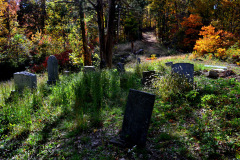
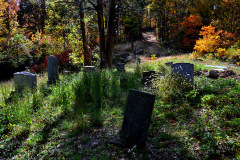
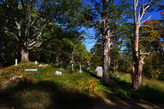
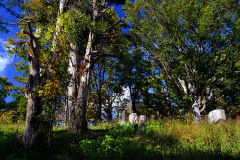
Greenbrier / Zephyr Cemetery 09-23-2014The Civil War that was fought in our region wasn’t one of epic battles involving tens of thousands of massed troops. It was more like guerrilla warfare, bushwhackings and massacres, labels that differed depending on which side you were on.

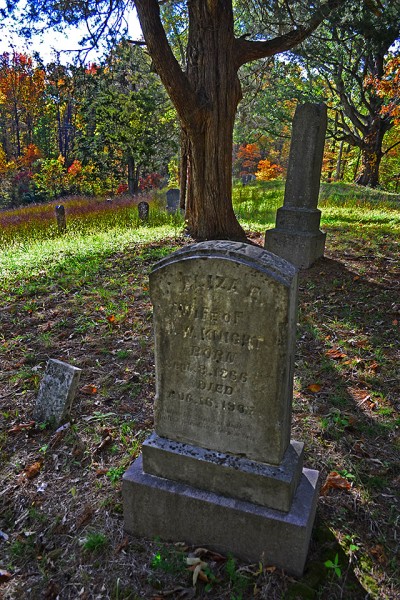
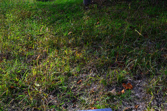
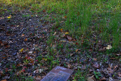
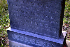
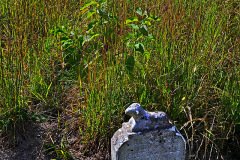
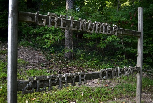
One of our rambles took us to the Greenbrier/Zephyr Cemetery in southern Bollinger County. It’s not particularly easy to find, and the road leading to it isn’t all that easy to hit. You pretty much have to drive past it, turn around the first opportunity and head back in order to get the right angle. It’s one-way in, so be prepared to back up.

Mass grave for Confederate dead
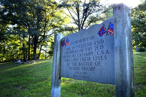
Greenbrier / Zephyr Cemetery 09-23-2014Mother and I went looking for it because I had read about the Battle of Mingo Swamp and the mass grave in the cemetery. Here’s a version of what happened from Cletis R. Ellinghouse’s book, Mingo: Southeast Missouri’s Ancient Swamp and the Countryside Surrounding It:

The Battle of Mingo Swamp was fought February 4, 1863, on the south Bollinger County plantation of Simeon “Slim” Cato, a 58-year-old South Carolina native who died in the bloodbath with 28 others, all Confederate soldiers. It was the bloodiest single incident in the war in Southeast Missouri. Among the other slain were Confederate Capt. Daniel McGee and his first sergeant James A. Logan, who at the time resided at what later became Puxico. McGee was Cato’s nephew.

Confederates caught unawares
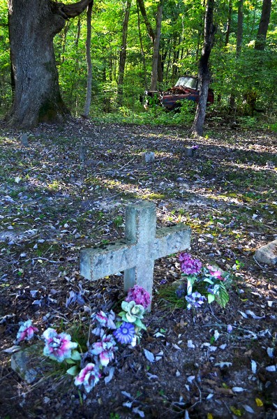
Greenbrier / Zephyr Cemetery 09-23-2014The Confederates, surrounded by Union soldiers, were completely unaware of what was about to happen to them. They were not within reach of their weapons when soldiers from the Twelfth Missouri State Militia Cavalry pounced on them in a vicious assault that left all of them dead or mortally wounded. “All but four too seriously wounded to be removed,” according to an account published in a St. Louis newspaper, which referred to McGee as “the notorious guerrilla chief.” In fact, all of them were killed outright or died of wounds without a single casualty on the Union side, which has prompted some to call the operation “a massacre.”

The remains of the Confederates, routinely called outlaws and guerrillas by Union officers, were carried by wagons and buried by kinsmen and neighbors at what is known today as the Greenbrier/Zephyr Cemetery, a few miles from where they were slain. Their mass grave was discovered many years ago. Uniforms, coats and button were found along with the remains of several bodies.

Other references
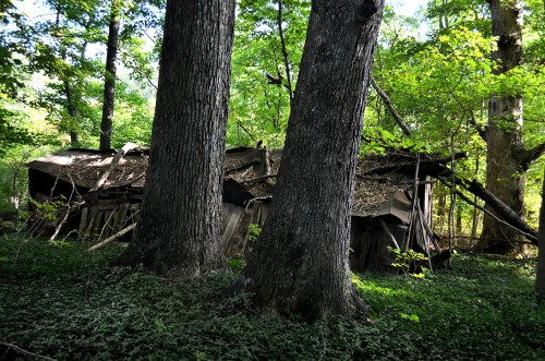
Greenbrier / Zephyr Cemetery 09-23-2014Depending on whose account you read, Sam Hildebrand was just a guy who wanted to be left alone and stay out of “the rich man’s war being fought by poor men,” or he was “The Big River Bushwhacker, Southeast Missouri’s notorious outlaw.” Others put him in the camp of those men who used the war as an excuse to settle personal affronts. His exploits rival any movie you’ve seen.

Most of us grew up hearing about Forts A, B C and D, but I was never taught about the major battle that was fought in the town. This is an account worth reading.

As always, you can click on the photos to make them larger.


The Stonewall’s Mass Grave

Mississippi River at Neely's Landing 10-20-2012I’ve noticed an unusual traffic bump on the stories I’ve done about Neely’s Landing and the horrific steamboat The Stonewall disaster that occurred in 1869. That prompted me to post an update that is more speculation than fact.

Here’s a little refresher. You can go to my original post for more detail.

  • Oct. 27, 1869, the steamboat The Stonewall, heavily laden with about 300 passengers, tons of cargo and 200 head of livestock was southbound on the Mississippi River near Neely’s Landing, bound for Cape Girardeau, Memphis and New Orleans. The river was low and the boat was running “slow wheel.”
  • A candle or lantern overturned or a passenger dropped a spark onto hay on the lower deck, which caught fire. Before the blaze was discovered, it had gained considerable headway.
  • The captain tried to beach the boat, but it struck a sandbar and turned in the wind and current until the flames fully engulfed the vessel. Nobody knows exactly how many people burned, drowned or died of exposure because the passenger list burned with the steamboat. Estimates place the toll between 209 to 300.
  • Some 60 or 70 unidentified or unclaimed victims were buried in a mass grave on the Cotter Farm.

A hunt for the grave site

Neely's Landing Cemetery 10-20-2012I spent quite a bit of time driving around Neely’s Landing searching for the grave site, but there’s not much left of what was once a thriving town. Mississippi River floods erased many buildings, much like they washed away Smelterville and Wittenberg. The Proctor & Gamble plant gobbled up even more of it.

I thought a cemetery high on a hill overlooking the landing might be a possibility, but I quickly dismissed it.

Here’s why I didn’t think it qualified.

Here’s another possibility

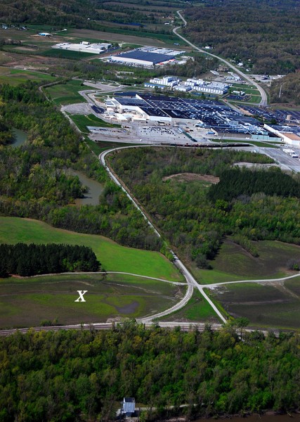
Aerial Proctor & Gamble 04-17-2011Amateur historian Dick McClard and I started trading ideas. He has forgotten more about that area than I ever knew because of his research into the McClard family and its many offshoots.

He thought that the old Cotter Farm and grave site might be on Proctor and Gamble’s property in the general vicinity of the X. It was on the Neely’s Landing side of Indian Creek; the ground was fairly flat and the soil was soft.

Dick was a former P&G employee, so he knew the right ears to blow into to get us an escorted visit to our target area.

We struck out

Stonewall gravesite panoramaThe security guard who was our ride and guide was on a tight schedule, so we didn’t get much time to nose around. I had time to shoot a nearly 360-degree panorama of the general area that didn’t show anything particularly interesting. The left side of the photo is looking north, then it swings to the right until we are looking approximately north-northwest.

You’ll have to click on the photo to make it large enough to make out anything.

Dick thinks that any markers that might have existed were moved or covered over when the railroad cut through the area to carry visitors to the 1904 World’s Fair in St. Louis. Decades of Mississippi River and Indian Creek floods probably scoured the area, plus it has been farmed.

We’re going to give it another shot, but timing is critical. It’ll help if we get there before the brush, snakes and bugs start showing up after wintertime. The best we can hope for would be some discarded stones or markers that have been pushed off to the edges of the property, but I doubt there was much around to set the graves off from the surrounding farmland.

Here’s one of the best accounts I’ve run across about the disaster and the history of the area.


Neely’s Landing Cemetery

Coming back through Neely’s Landing, I slowed down to see if there was any trace of a cemetery I had heard was on the top of one of the hills, but I didn’t see one nor any way to get up there. I’m still curious about the mass grave for the victims of the fire aboard the steamboat The Stonewall that killed between 200 and 300 passengers in 1869. When I got to the curve behind Proctor & Gamble, I turned around and cruised back north.

I spotted a couple – Roger and Rebecca – in front of a mobile home jacked way up on concrete blocks. Rebecca was walking a pit bull sporting what looked like a logging chain. I was a little uncomfortable for a bit, because I figured an animal that required a chain that big would have been able to drag the young woman like a cartoon character. The dog was either friendly or figured I wasn’t worth eating, because he didn’t appear aggressive.

Roger and I chatted a bit about how high the last flood got – “It came all the way up to the bottom of the trailer. When a barge would go by out on the river, the wave would lap up against the bottom of the floor. We had to take a boat to go all the way around the curve to where we were parked.”

I could cut through his lot

I asked about the cemetery. He said there was a road going up to it, but it was blocked off by a gate. I was welcome to cut through the back of his lot to get to it. “Is that your wife in the car?” he asked.

“Nope, that’s my mother. She turned 91 last week.”

“I don’t think she’ll be able to make it.”

Cemetery popped into view

“I’m not sure I can make it, but I wouldn’t bet against her.”

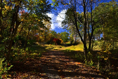
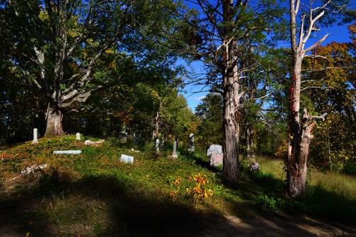
The road WAS fairly steep, but in decent condition. It had seen chat at some time in the past and it wasn’t too rutted. Just about the time I ran out of hill and breath, the cemetery popped into view.

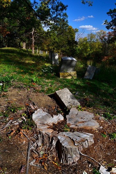
Tree cut down

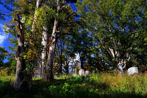
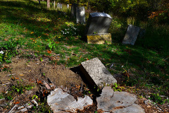
A storm must have taken down a big tree recently, based on the fresh sawdust around the stump. It damaged a few tombstones, but the cemetery was fairly well maintained.

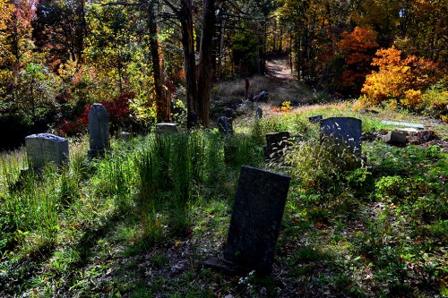
Quiet and peaceful

The late afternoon sun made the east-facing tombstones hard to shoot, but I like the play of light anyway.

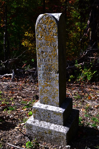
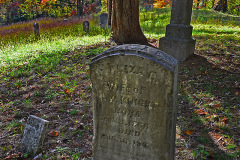
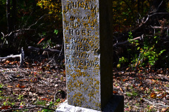
How old was Louisa Ross?

I couldn’t be sure if Louisa M. Ross was 100 years, one month old when she died or if she was a baby one month old. It’s hard to make out if she was born in 1802 and died in 1902 or if she was born and died in 1902. When I shot the photo, I was pretty sure it was 1802 and 1902.

FindAGrave.com lists 74 interments in the cemetery. There are two with the name Ross: Baby Girl Ross, daughter of S.H. and S.J. Ross, born and died June 12,1900, and Sarah J. Ross, wife of S.H. Ross, who was born Feb. 6, 1893, and who died Aug. 25, 1904. The Louisa M. marker is prominent enough and old enough that I would have thought it would have made the listing.

Not the Stonewall cemetery

I don’t think The Stonewall’s mass grave is up there..

  • There’s not a lot of flat ground in the cemetery that would lend itself to a mass grave
  • It’s a steep climb up the hill.
  • It didn’t look like it would be easy digging.
  • The locals would figure the steamboat victims were strangers, so they would probably not want to take up the limited space where their families were going to be buried.
  • A spot closer to the river would be easier to reach and easier to dig.

A view of the Mississippi

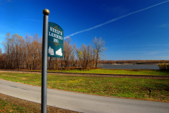
Here’s a view of the river looking to the south from Neely’s Landing. If I knew exactly where The Stonewall went aground, I might poke around while the river is low. Newspaper reports pieces of broken queensware, coal, nails, bits of iron and even bones were still being found on the Stonewall Bar 67 years after the disaster.

Photo gallery of Neely’s Landing Cemetery

Click on any photo to make it larger, then click on the left or right side of the image to move through the gallery.