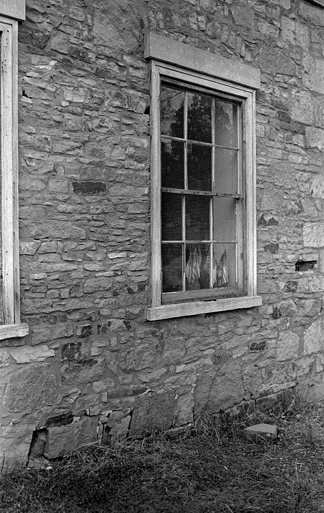
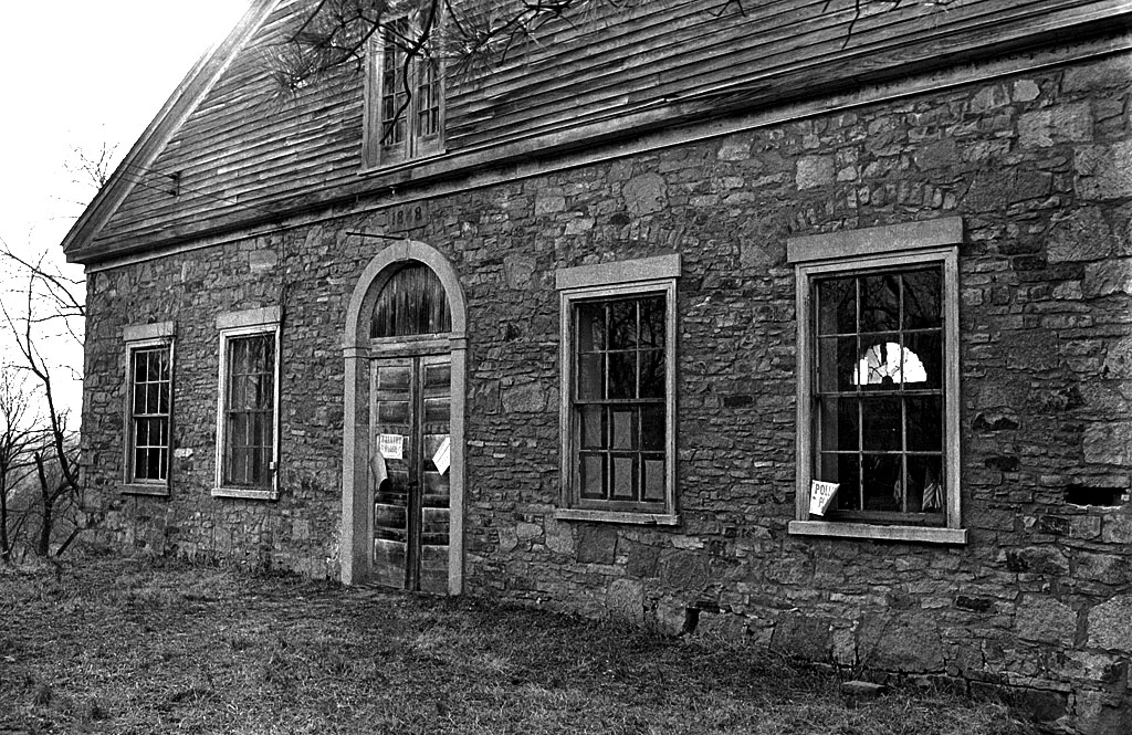
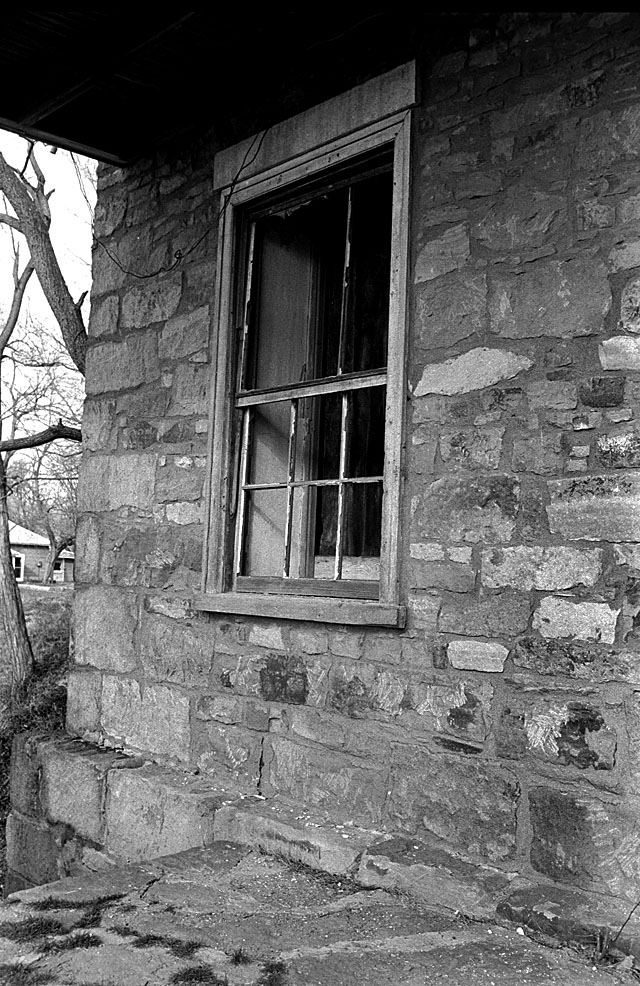
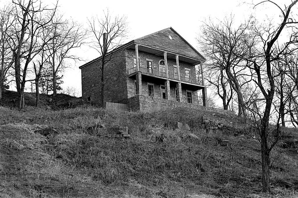
June 17, 1959, The Missourian reported that citizens and churches were trying to raise $5,500 in operating expenses for the Smelterville Civic Center to be opened in the renovated Hartle building..
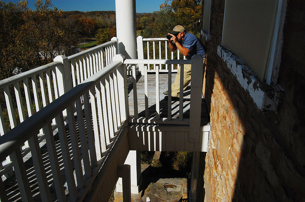
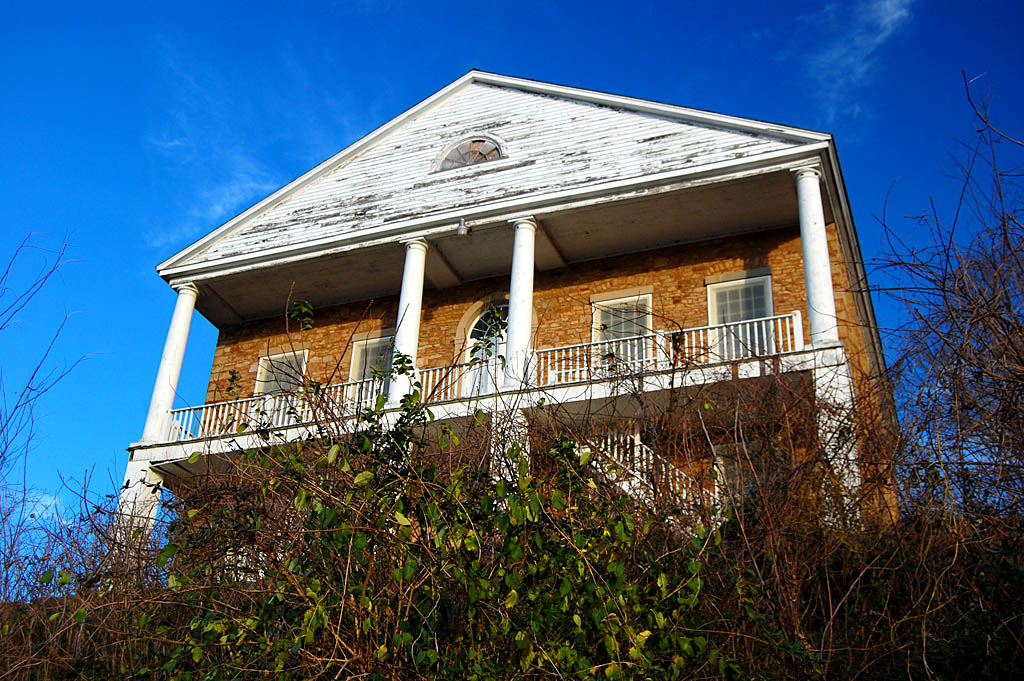
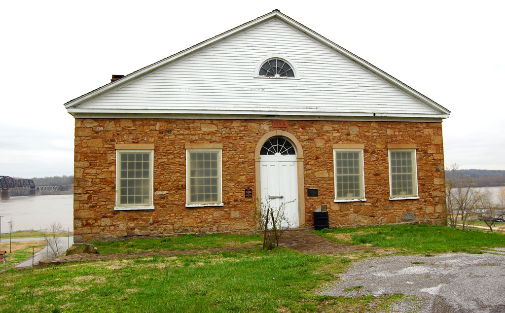
Fifty-two years later, a March 16, 2011, story by Scott Moyers said that the $2 million Shawnee Park Center was going to open March 28. Quite a contrast. (Click on any photo to make it larger.)
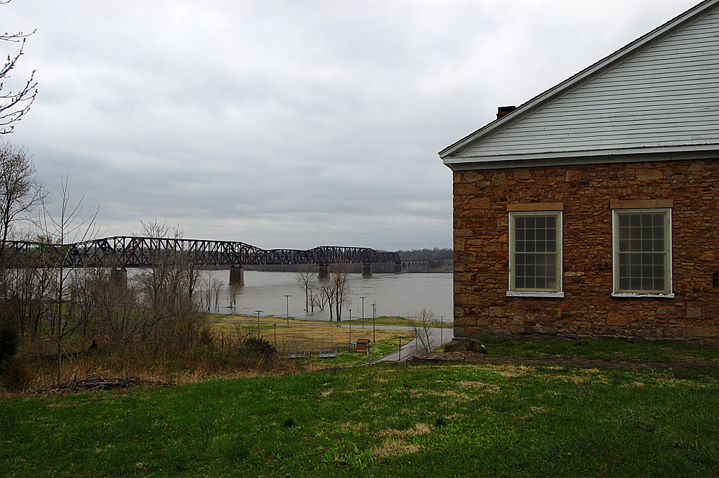
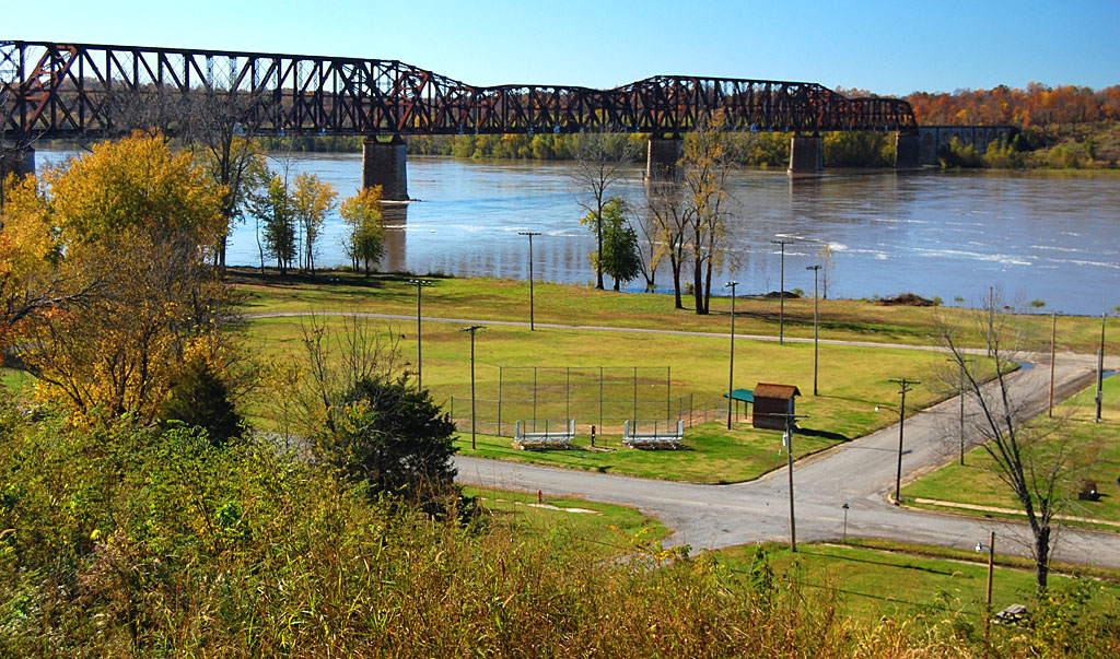
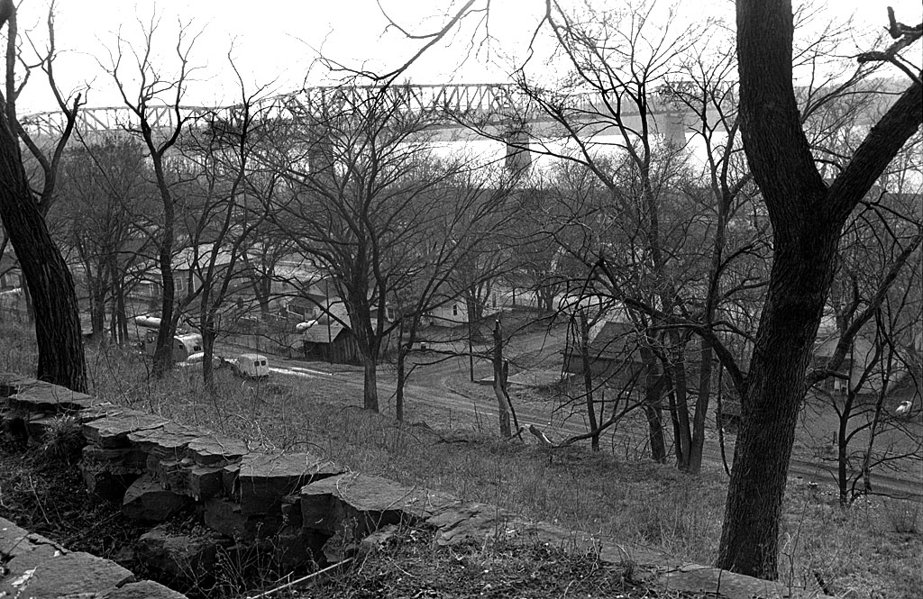
For years, residents in the central area had the Arena Building for activities; the Osage Center and the water park was built later for the northern part of the city. South Cape, always the municipal step child, was pretty much neglected until the Shawnee Park Center was built at 835 S. West End Blvd, next to the Shawnee Sports Complex..
14,541 square feet
 The 14,541 square-foot facility includes:
- 6,500-square-foot gym.
- 870-square-foot fitness room.
- 720-square-foot activity room.
- 1,540-square-foot meeting room that can be divided into two rooms.
- A full-service kitchen.
Stories about old Civic Center
 June 17, 1959 – A special committee composed of 70 Cape Girardeau groups planned to raise $5,500 for operating funds for a Smelterville Civic Center. The funds would come from three sources: many churches agreed to contribute 10 cents per communicant to provide start-up money; donations from civic clubs and industrial firms would be solicited, and a giant variety show using local talent would be held.
- May 9, 1960 – Report of accomplishments: attendance increased from 15 to 20 children on a Saturday to over 100; demand grew so much that arrangements were made to use the May Greene School gym for Saturday athletic programs; a state-sponsored program taught many women in Smelterville the use of sewing machines; a quilting program had been started; the county medical society gave assistance and an eye clinic was held.
- May 11, 1960 – Stephen Limbaugh, Miss Bertie Cleino and Rev. Owen Whitfield were elected to the Civic Center board of directors. Henry Ochs reviewed the center’s accomplishments and said that plans were being made to add washing machines and bathing facilities to the building. Gary Rust talked about expansion plans. Fred Thomas reported on Saturday activities. C.C. McClue announced a fundraising drive for June.
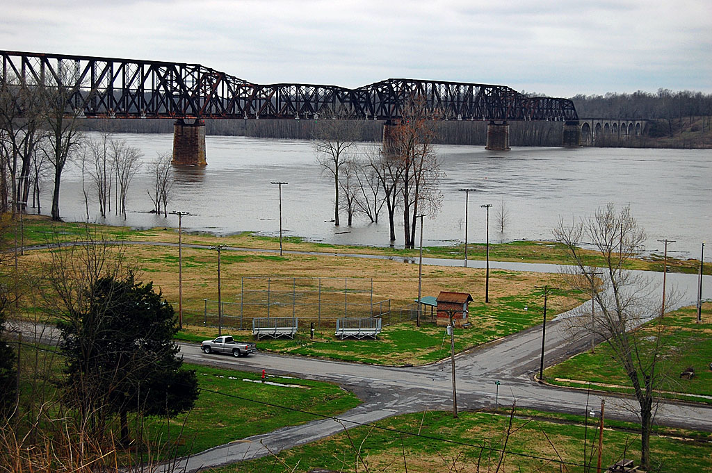
- May 10, 1961 – Mississippi River was expected to crest at 39 feet, the fourth highest point since the modern record of 42.4 feet on May 27, 1943. [That compares with 48.49 ft on August 8, 1993.] Some Smelterville families move into the Civic Center when their homes flooded. The rise was unexpected. The river came up 6.9 feet in 48 hours.
- Dec. 23, 1966 – SEMO students insured that Christmas presents were available to children at the Civic Center.


Links to old Civic Center photos

I’ve done two stories with photos of old Civic Center activities:
- July 1, 1967 Sock Hop
- February 22, 1967 Dance practice