 Whenever I’m in Cape, I hop on my bike and take a run down to South Sprigg to look over the edge of the cement plant quarry. I’ve always been fascinated by the place.
I saw a brief story in The Missourian in the past couple of weeks that the high water and flooding has caused the quarry to fill up. I kept waiting for a longer piece and now I can’t find the original one.
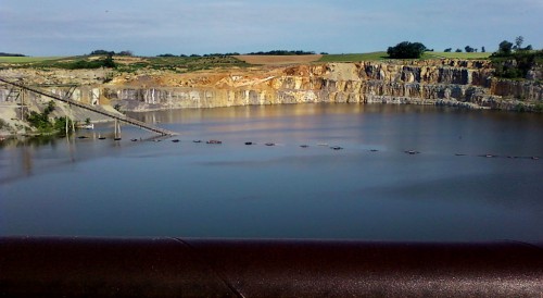
In the meantime, my mother’s neighbor across the street, Bill Bolton, sent me this photo showing that the water is way above the conveyor belt that carries the blasted material over Sprigg St. to the cement plant.
Last week there was a story in the paper saying that huge sinkholes have opened up and swallowed so many pieces of Sprigg Street that it’s closed “indefinitely.”
2002 Blowout
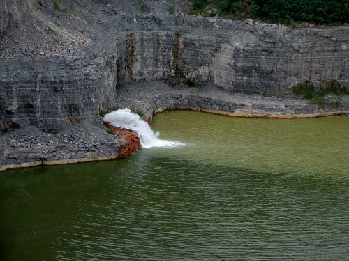 To put Bill’s photo in perspective, there was a huge blowout in July 2002 where a 25-foot-tall plume of water came blasting in. You can click on any photo to make it larger.
Conveyor area still dry
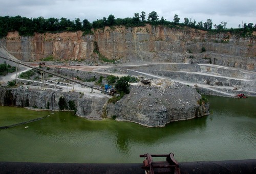 Even with that massive inflow of water, the conveyor area was still high and dry.
By fall 2002, flow was stopped
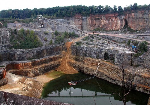 By my October 2002 visit, the flow had stopped and pumps had taken the water level down substantially.
Nearly drained by October 2003
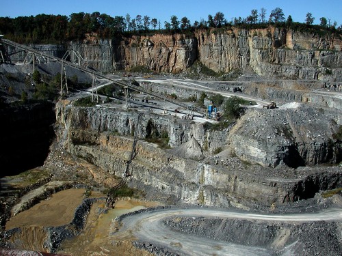 The water was almost completely gone by Oct. 15, 2003.
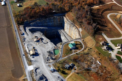
Fall 2010 aerial photo
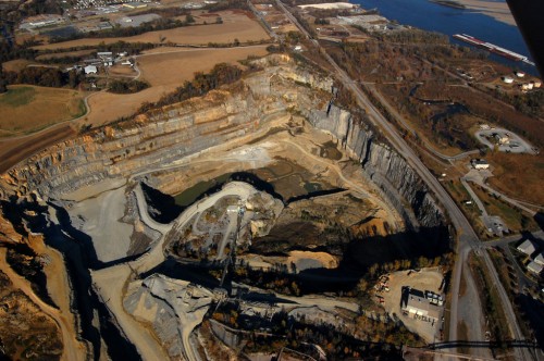 This is what the quarry looked like from the air on Nov. 6, 2010. The paved road on the right is S. Sprigg Street.
Seep water from Cape LaCroix Creek
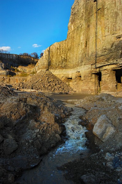 Nov. 10, 2010, I took a tour of the cement plant and was given my first trip to the bottom of the quarry since the mid-70s. I’ll run photos of that later, along with pictures of the massive caverns that were blasted out by the early miners.
Buzzi Unicem Plant Manager Steve Leus said the water in the photo was coming in underground from Cape LaCroix Creek. Under normal circumstances, pumps can handle the flow.
The caves on the right are from some of the early mining. They extend under Sprigg Street. Steve said they’re not sure how far back they go.
Water rising April 2011
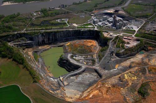 The river was just reaching flood stage at Cape when I took this photo on April 17, 2011. The lower portions of the quarry are beginning to hold water, but it’s a long way from where it was when Bill took his photo a few weeks later.
1966 aerial shows expansion
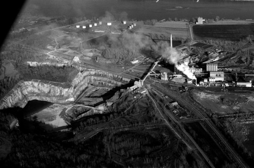 This aerial I shot of the cement plant and quarry shows just how much rock has been taken out in the last 45 years.

