 Some days you think you’re going to post some pretty pictures and go to bed early. Then, unfortunately, you start doing a few searches and find yourself going off in all kinds of tangents.
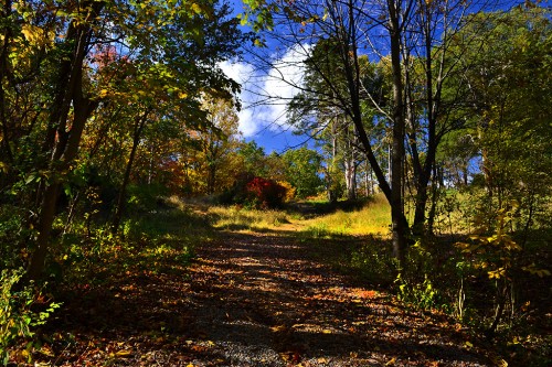
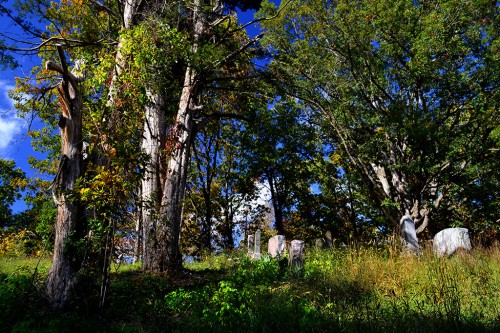
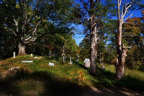
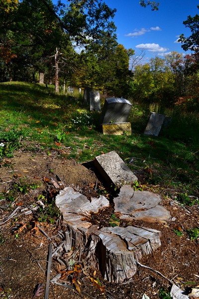
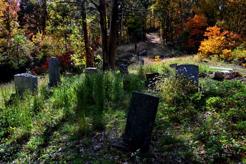
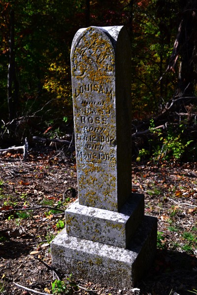
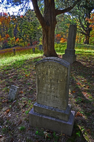
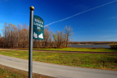
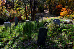
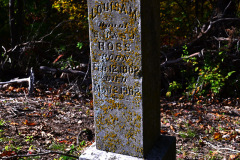
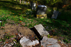
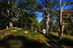
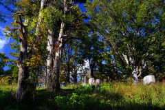
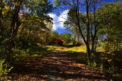
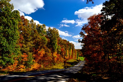
On October 20, Mother and I took the back roads from Perry County down CR 535 through Neely’s Landing and into Cape. I wanted to see if I could find the mass grave from the 1869 Steamboat Stonewall tragedy that killed between 200 and 300 people. I found A cemetery, but I’m pretty sure it’s not THE cemetery. More about that later. (You can click on the photos to make them larger.) The green patch at the end of the road is Dog Holler, just down the road from the High Hill Church and Cemetery.
Obsessed with dogs
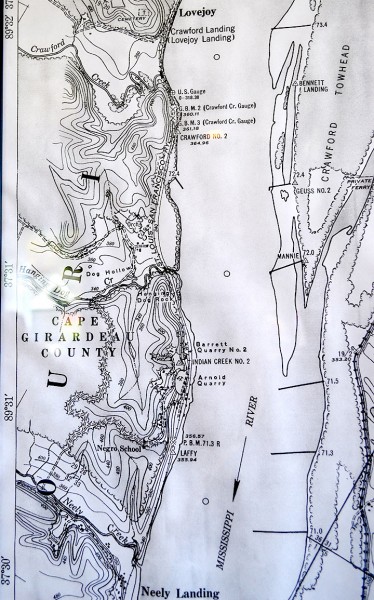 Friend Shari and I stopped in at a new restaurant in Pocahontas (more about that later, too). The owner said she and her husband live on a farm in what they call Dog Holler and pointed to a map on the wall (where it is officially known as Dog Hollow). I knew that area. It’s a neatly cleared valley surrounded by rugged hills with wild timber. Just after you go around a curve, you pass a driveway with “Dog Holler” on it.
The time waster was when I decided to look more closely at the map and saw somebody was doggone dog-obsessed. There was Dog Hollow; Hanging Dog Rock; Dog Island; Hanging Dog Creek. Another map showed Hanging Dog Island.
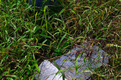
Hanging Dog Rock survey marker
 I didn’t find out how the rock got its name, but I found a mention of it in the Results of Spirit Leveling in Idaho, 1896 to 1914, Inclusive, Issues 565-569. To my surprise, the book wasn’t dealing with whether spooks in Idaho were off-kilter. It was a listing of United States Geological Survey markers.
There is one located at “Neely Landing, about 4,000 feet below, 3 feet north of east-west rail fence, on land of Mr. Wagner, between the St. Louis & San Francisco R.R. and the river, about in line with outer point of Neely Landing and highest trees on top of bluff below Hanging Dog Rock, 45 feet east of lower headblock of Neely siding, 115 feet north of cattle guard; iron pipe (U.S.C.E. b.m. triangulation Dutch) (lat 37° 29′ 22.58″; long 89° 29′ 45.57″). It is 350.87 feet above mean sea level.
If you go to page 5 of the book, you can see what all those abbreviations mean and how the makers were placed. Took me right back to Ernie Chiles’ Earth Science class.
Two steamers sunk off Hanging Rock
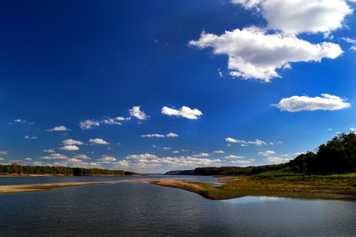
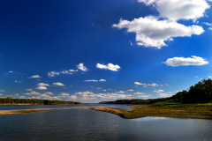
 An 1867 report to the Secretary of War listed two unknown steamers sunk in the Mississippi river off Hanging Dog Rock. This was two years before The Stonewall burned in the general vicinity.
For what it’s worth, the report also mentioned two unknown steamers sunk at Old Cape; Talisman, collision, foot Cape Girardeau bend, and two unnamed steamers at the foot of Cape Girardeau bend. That’s about where the barges broke away and sank earlier this month.
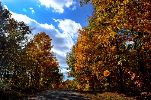
[By the way, for my friends who are ghost chasers and UFO fanatics, the light blue object in the sky and the orange orb at the right are not flying saucers and ghostly images; they are internal lens flare caused by shooting almost into the sun.]
You may get more leaves
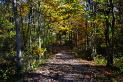
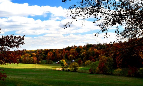
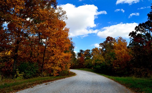 I thought I had run out of leaf pictures, but they keep showing up when I look at what I’ve taken on this trip. There aren’t many fresh ones to shoot, though. They’re either turning brown or they’ve fallen.
Polarizing filter
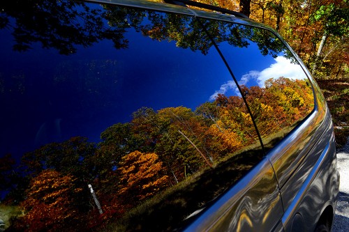 I keep a Hoya polarizing filter on my lens almost all of the time. It’s particularly important when you’re shooting colorful foliage. Not only does it make the sky a nice, dark blue, but, more importantly, it cuts through the reflections ON the leaves, making them appear richer.
Sometimes, though, you don’t want to knock the reflections down. When I walked back to the car after shooting one of these photos, I noticed a really cool reflection in my car windows. If I twisted the polarizer to eliminate the reflection of the trees, all I would have had was a photo of the interior of a messy van. That, of course, was not my goal, so I minimized the effect of the filter.
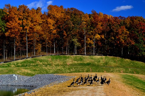 These guys may like the dam, but they weren’t too happy with me. Once I got to a certain point, they would walk away from me at the same speed as my approach. When I stopped, they’d stop. When I started walking back to the car, they followed me back.


