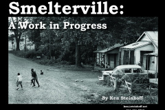
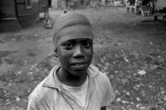
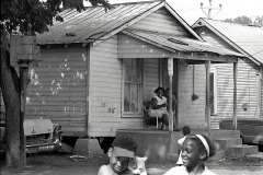
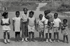
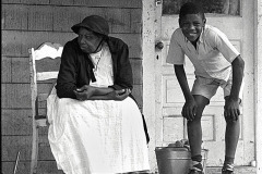
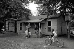
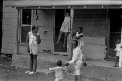
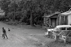
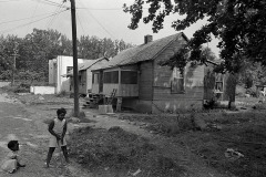
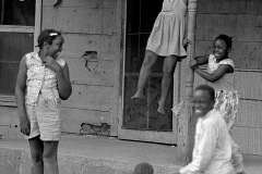
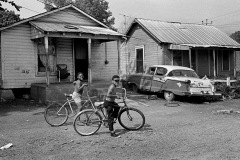
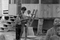
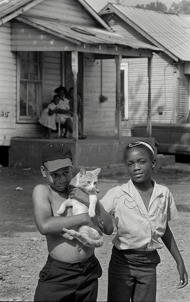
 I need some help tracking down some kids I shot back in the spring of 1967.
Like most folks in Cape, I knew where Smelterville was and would drive past it on South Sprigg, but never ventured into it much.
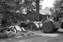
Periodic cleanup
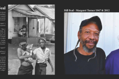
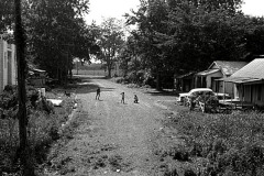
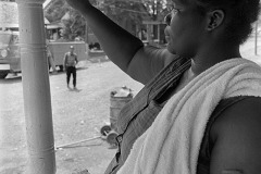
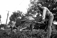
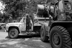
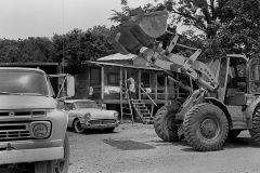
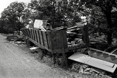
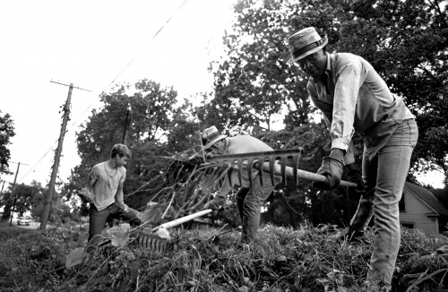 In the spring of 1967, though, I had an assignment to shoot one of the periodic cleanups. I took that as an opportunity to walk around documenting some of the buildings and people who lived there. One of the cleanup photos ran in The Missourian, I think, but everything else got filed away.
Photos have historical value
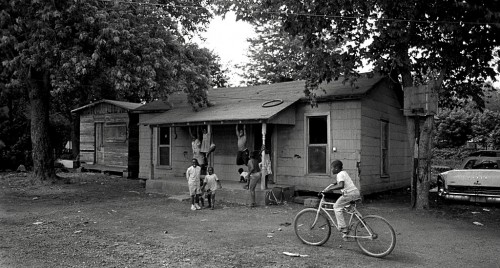 When I talked with Lisa Speer, Associate Professor and Special Collections Librarian at SEMO, about picking up my stuff when I move into that eternal darkroom, she was fascinated by the Smelterville pix and some I took of a New Madrid Mississippi River baptism. She said there’s a dearth of photography of the black communities in that era.
What happened to the people?
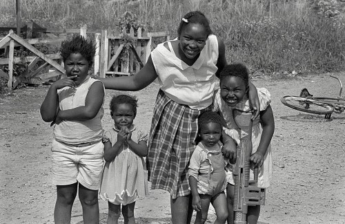 That made me wonder what had happened to the people in my photographs.
I’ve hit a lot of dead ends (literally) in New Madrid, but finding the Smelterville subjects seems more promising. When I was chasing down the minor league ballpark rumors, I talked with a couple of guys standing in a front yard near Fort D. When one of them mentioned that he had lived in Smelterville, I said, “Have I ever got some photos to show you.”
Got some good leads
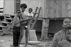
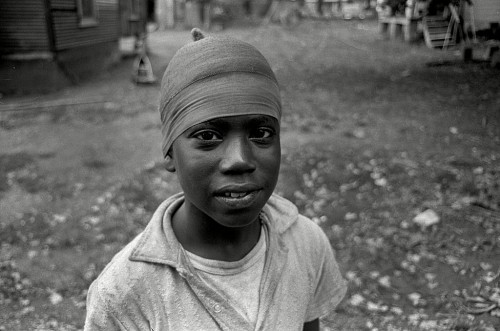 One of them knew just about every kid, the names of their dogs and who owned the cars in the background. He even said that most of them still lived in the area. The old folks, have long passed on, but the kids should be in their mid to late 50s.
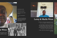
He put the word out on the street and I met with three members of one family. Interestingly enough, one was sure he could identify his siblings and the house they lived in, but couldn’t be positive if one of the photos was of him as a child.
Hard to identify children
 I thought that odd, but then I looked back at photos of me as a toddler all the way up to my teens. If I hadn’t been TOLD that was me or if I didn’t recognize the backgrounds to put things in context, I don’t know that I would recognize myself.
Here’s your assignment
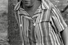
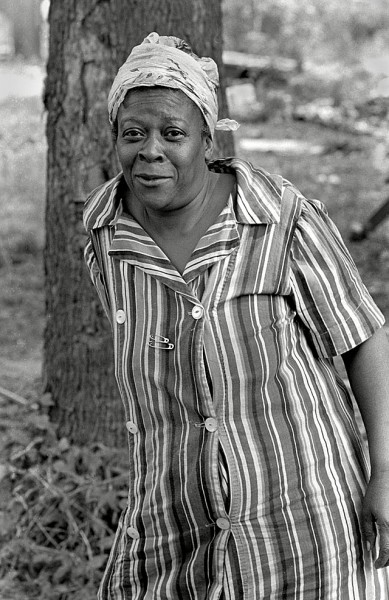 Anyway, here’s your assignment: if you can identify any of the people in these photos, let me know. If you know where they live or how to get in touch with them, that’s even better.
I’m going to be doing a quick swing to Cape to deal with my transportation problems toward the end of this week, but I’ll be back for a longer stay in October when we celebrate Mother’s Birthday Season. It would be great to have some interviews lined up for that trip.
I’ll keep you up to date on how the project is going. I have more photos and lots of stories for later.
Smelterville photo gallery
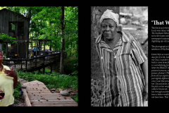
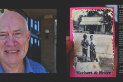
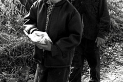
Here’s a selection of the people I’d like to find. Click on any image to make it larger, then click on the left or right side to move through the gallery.
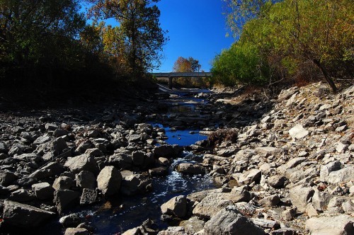
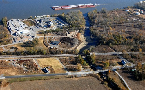
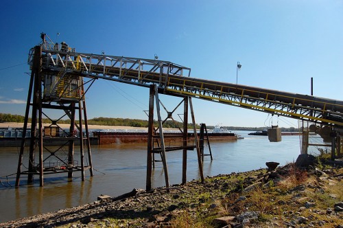 When I was stumbling around trying to find out how to get to the old M.E. Leming Lumber Company, I took a chance on going down LaCruz Street in what used to be Smelterville. I sort of didn’t see a sign that said don’t go here and popped out next to Consolidated Grain and Barge, now labeled CGB. I didn’t realize CGB was such a big deal until I checked out their webpage.
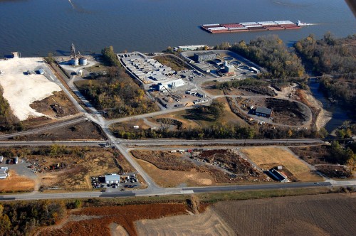 CGB is at the end of LaCruz Street, the street that runs from Sprigg, at the bottom, to the river. Look for the two storage bins to the right side of the light-colored lot. The facility just to the left of where the barge is passing is Cape’s Sewage Treatment Plant. Cape LaCroix Creek empties into the Mississippi at the right.


