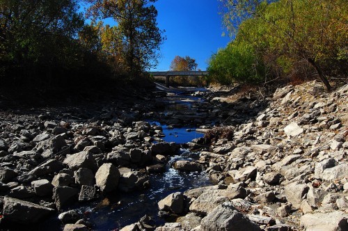
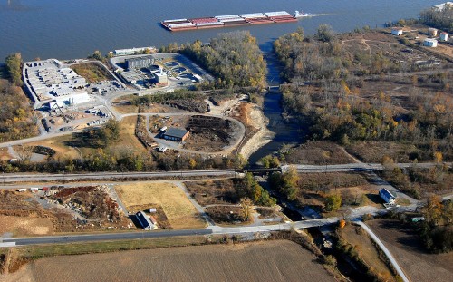
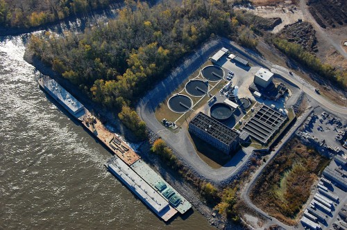
 I’ve been seeing stories pop up that Cape Girardeau residents are going to vote on whether or not to build a new waste water treatment plant by 2014. You can read more about it on the city’s website. I don’t have a dog in this hunt, so I’m not going to weigh in.
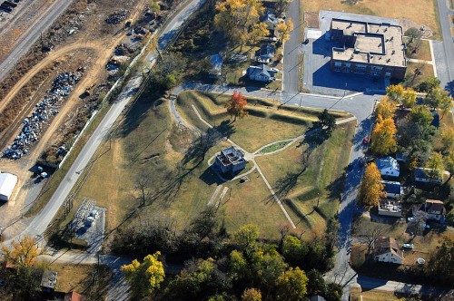
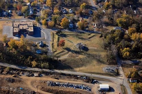
I flew over the treatment plant last fall. It looked smaller than I remembered it.
Front page story with byline
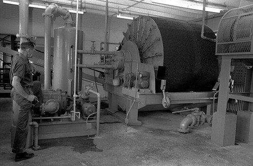 I did a front page Missourian story on Aug. 15, 1967, back in the day when we called it a “sewage treatment plant.” Not only did it run on 1A, but it ran with a byline, something that didn’t happen often.
Overall, it wasn’t badly written. The lead is a little long – “Cape Girardeau’s sewage treatment plant’s most important function is anti-pollution, but a byproduct of its operations is proving to be a substantial help to area farmers who literally reap the benefits when they harvest their crops.”
Treated sewage made excellent fertilizer
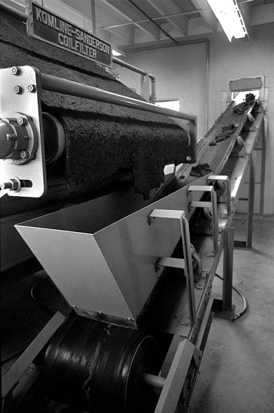 “After the raw sewage – which once had a direct line to the Mississippi River – is detoured, detained, treated and dried, the solid wastes make excellent fertilizer, farmers say.”
I loved stats and obscure factoids: “…about 35,000 pounds of sludge rolls off the plant’s 12-foot-wide vacuum coilfilter every other day, Tom Sides, supervisor, pointed out; this amounts to about 200 tons a month or about 7,200 tons in the three years the plant has been in operation.”
You don’t know how hard it is to write a story like this without slipping in some bad puns. John Blue was the only guy I ever worked for who would have given me this assignment without making some comment about it being a “[deleted]” story.
Some odor after rains
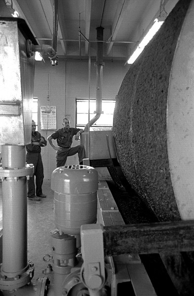 I quoted farmers Ervin Hobbs, Fred Theile and Mrs. Denver Perkins. All said their yields had increased. Mr. Thiele reported “there is some odor – particularly after it rains – but there aren’t any other farmers too close to here and it doesn’t bother anyone.”
Dr. S.B. Beecher of the State Public Health office in Poplar Bluff said that the state has never objected to the use of solid treated waste. Some St. Louis nurseries even used the liquid sewage, he said.
Came out as felt-like material
 Cape County Health Officer Marvin Campbell was less sold. “I don’t know how adequate the treatment is, I don’t know whether all the pathogenic organisms are being killed; I don’t know the strength of the chemicals being used, and I don’t know if any tests are being made to see if the organisms are being killed.”
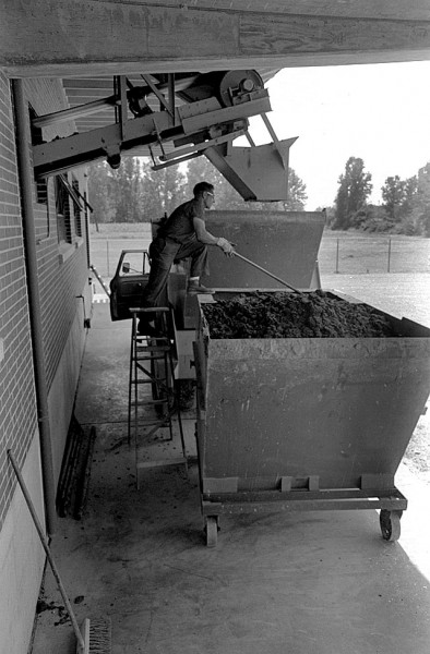
Raw sewage flowed into the plant at the rate of 2,500 to 3,500 gallons a minute. By the time it got through the complex system of pumps, still wells and filters, it came out as clear water which was “almost drinkable” or as a slightly-damp, felt-like material. The latter is what the farmers used.
Two employees in addition to Mr. Sides work at the plant: Elmer J. Perry, operator, and Cecil Bierschwal, truck driver.

