 I’ve noticed an unusual traffic bump on the stories I’ve done about Neely’s Landing and the horrific steamboat The Stonewall disaster that occurred in 1869. That prompted me to post an update that is more speculation than fact.
Here’s a little refresher. You can go to my original post for more detail.
- Oct. 27, 1869, the steamboat The Stonewall, heavily laden with about 300 passengers, tons of cargo and 200 head of livestock was southbound on the Mississippi River near Neely’s Landing, bound for Cape Girardeau, Memphis and New Orleans. The river was low and the boat was running “slow wheel.”
- A candle or lantern overturned or a passenger dropped a spark onto hay on the lower deck, which caught fire. Before the blaze was discovered, it had gained considerable headway.
- The captain tried to beach the boat, but it struck a sandbar and turned in the wind and current until the flames fully engulfed the vessel. Nobody knows exactly how many people burned, drowned or died of exposure because the passenger list burned with the steamboat. Estimates place the toll between 209 to 300.
- Some 60 or 70 unidentified or unclaimed victims were buried in a mass grave on the Cotter Farm.
A hunt for the grave site
 I spent quite a bit of time driving around Neely’s Landing searching for the grave site, but there’s not much left of what was once a thriving town. Mississippi River floods erased many buildings, much like they washed away Smelterville and Wittenberg. The Proctor & Gamble plant gobbled up even more of it.
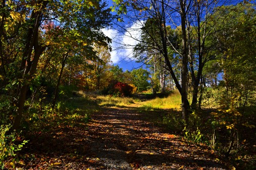
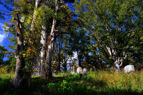
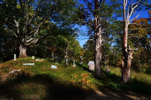
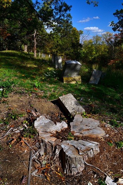
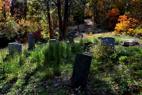
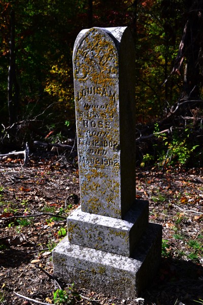
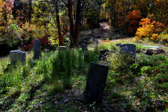
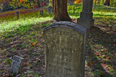
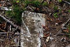
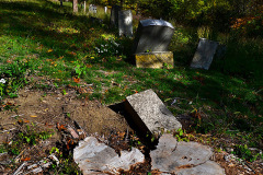
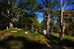
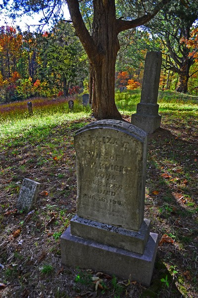
I thought a cemetery high on a hill overlooking the landing might be a possibility, but I quickly dismissed it.
Here’s why I didn’t think it qualified.
Here’s another possibility
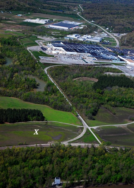 Amateur historian Dick McClard and I started trading ideas. He has forgotten more about that area than I ever knew because of his research into the McClard family and its many offshoots.
He thought that the old Cotter Farm and grave site might be on Proctor and Gamble’s property in the general vicinity of the X. It was on the Neely’s Landing side of Indian Creek; the ground was fairly flat and the soil was soft.
Dick was a former P&G employee, so he knew the right ears to blow into to get us an escorted visit to our target area.
We struck out
 The security guard who was our ride and guide was on a tight schedule, so we didn’t get much time to nose around. I had time to shoot a nearly 360-degree panorama of the general area that didn’t show anything particularly interesting. The left side of the photo is looking north, then it swings to the right until we are looking approximately north-northwest.
You’ll have to click on the photo to make it large enough to make out anything.
Dick thinks that any markers that might have existed were moved or covered over when the railroad cut through the area to carry visitors to the 1904 World’s Fair in St. Louis. Decades of Mississippi River and Indian Creek floods probably scoured the area, plus it has been farmed.
We’re going to give it another shot, but timing is critical. It’ll help if we get there before the brush, snakes and bugs start showing up after wintertime. The best we can hope for would be some discarded stones or markers that have been pushed off to the edges of the property, but I doubt there was much around to set the graves off from the surrounding farmland.
Here’s one of the best accounts I’ve run across about the disaster and the history of the area.

