 When Wife Lila and I traveled to Mount St. Helens National Volcanic Monument last summer, I complained that I couldn’t see the forest for the sneeze. I had a killer cold that made me so miserable I’d have welcomed a Second Coming of Mt. Helens to put me out of my misery.
On top of that, we got a late start and it was a longer drive than we had anticipated. By the time we got there, it was late in the day and the cloud cover was heavy. It didn’t provide the best opportunities for shooting.
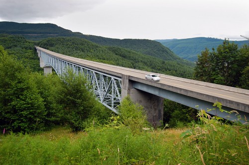
Hoffstadt Creek Bridge
A lot of money flowed into the area to restore infrastructure. This bridge over Hoffstadt was built as quickly as possible to help loggers salvage what trees could be salvaged.
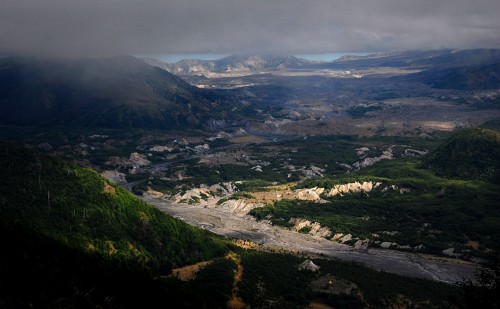
View into the crater
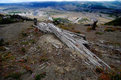
 We expected to see what we remembered from news photos of the aftermath of the eruption: trees laid over, stripped landscapes and mud flows. (One of my former staffers won a Pulitzer Prize for his coverage of the event.)
Nature is much more resilient than anyone had expected. Many of the trees have been replanted, wildflowers and wildlife are returning. This view down into the crater shows a lot of green.
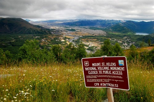
Fragile ecosystem
 Many areas of the mountain are closed to the public to give scientists a unique opportunity to study the progression of life in an area that had been effectively stripped clean of anything living.
Other Seattle area stories
- Seattle Harbor Tour
- The Seattle Seyers – a visit with Wife Lila’s relatives
- The Seattle Aquarium
- Pike Place Market
- Carl S. English Jr Botanical Gardens
- Hiram M. Crittenden Locks and salmon ladder
- Photos of Mount Rainier
Photo Gallery of Mount St. Helens
I shot these photos when I was dog-sick with a cold, so it’s appropriate that I edited them when I’m (hopefully) getting over one. Click on any photo to make it larger, then click on the left or right side of the image to move through the gallery.


I spent a lot of time climbing my local mountain before she blew, and a couple of nervous nights the next February when my tent shook on the snow from aftershocks just a mile from the growing crater. I was just below the summit of Mt.Hood (60 miles south) just after the main eruption. We biked the road a couple of summers ago; don’t feel bad about the cloud level Ken, that’s normal for the Northwest. We used to climb through the clouds and break out into sunshine. All my co-workers were jealous of my tan.
Was it a tan or was it rust?
I guess I shouldn’t rag on the NW about its rain. I bought a brandnew rain shell for the trip and didn’t get a drop of drizzle on it. I put it on when we were on Mount St. Helens because of a chilly wind, but it didn’t see precip until I got back to Cape.
Good pics, Ken We were there in 2010 (July) We hit 9 different National Parks, and I thought Mt St Helens was the most impressive–Your pics bring back the magnitude of the event–Thanx
My brother, Mike was a Navy Search and Rescue Helicopter in the state of Washington, when Mount St. Helens erupted. He got to take a scientist up to the lake near there and drop a probe into the lake. He said the pictures of the devastation did not do justice to the reality of it.